


Few strong storms possible to start week
MACON, Georgia. (41NBC/WMGT)- Small hail and damaging wind gusts are the main storm threats for storms this afternoon.
TODAY.

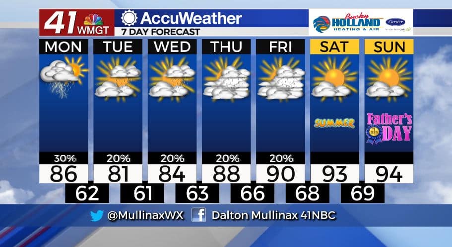
A mix of sun and clouds are in store for this afternoon as high temperatures top out in the middle 80’s across much of the region. As we head into the afternoon and evening hours, an upper level low pressure system will sink into the Carolina’s, generating a few showers and storms for Middle Georgia.
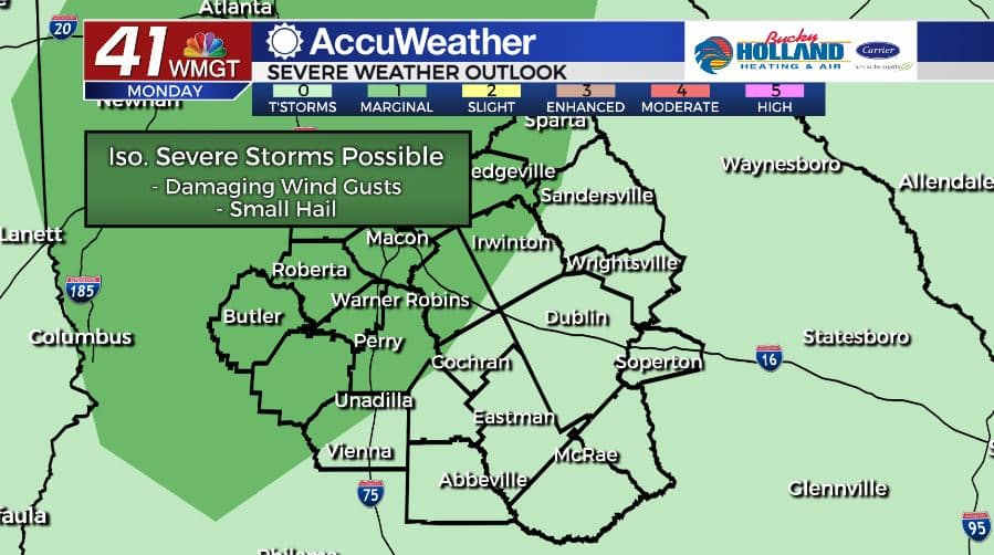
As of 6 am on Monday, June 15, the Storm Prediction Center has parts of Middle Georgia in a Marginal (level 1/5) risk area. The main storm threats today will be small hail and damaging winds.
After sunset, showers will dissipate and temperatures will fall into the low 60’s under a mostly cloudy sky as a wedge of cool air builds in.
TOMORROW.
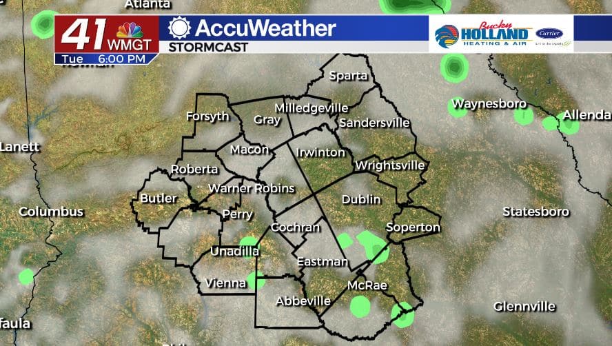
Cloud cover will be pretty consistent across the area as we experience a cooler afternoon under a partly to mostly cloudy sky. High temperatures will top out in the upper 70’s and lower 80’s before falling into the low 60’s once again overnight. Isolated showers and a few storms, none expected to be strong or severe, are likely during the afternoon.
WEEK AHEAD.
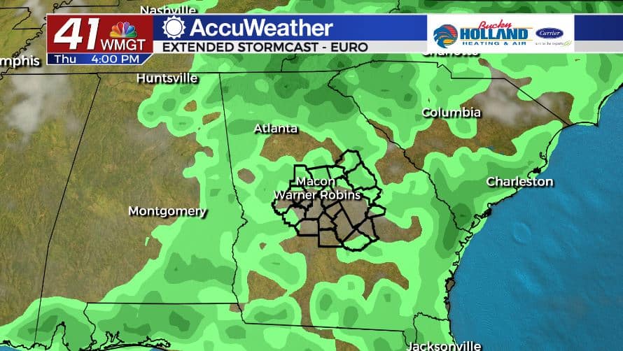
Rain chances remain isolated through Thursday as the upper level low hangs around the southeast. Temperatures will begin gradually warming on Wednesday, and by this weekend temperatures are expected back in the 90’s as high pressure builds across the area. Summer officially starts Saturday evening!
Follow Meteorologist Dalton Mullinax on Facebook (Dalton Mullinax 41NBC) and Twitter (@MullinaxWX) for weather updates throughout the day. You can also watch his forecasts Monday through Friday on 41NBC News at Daybreak (6-7 a.m.) and 41Today (11 a.m).

Leave a Reply