


Strong storms to move across Middle Georgia on Thursday
MACON, Georgia. (41NBC/WMGT) – Showers will be increasing as we head throughout the day today, but storm chances will increase tomorrow with strong to potentially severe storms in the forecast.
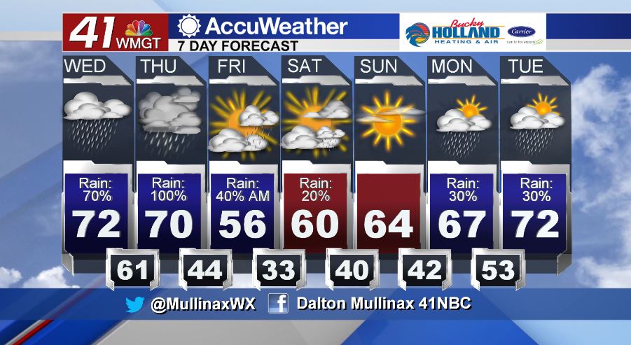
TODAY.
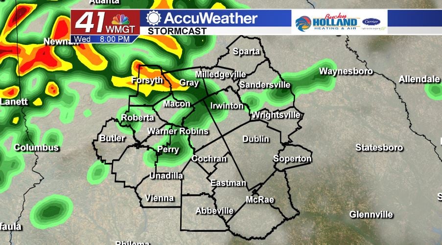
After starting off the morning with a few showers, coverage will increase as we head throughout the day. Under a mostly cloudy sky, temperatures will be topping out in the low to middle 70’s once again. Scattered showers this afternoon will be accompanied by a few rumbles of thunder as well, but widespread severe weather is not expected. Tonight, temperatures will be falling into the low 60’s which will set the stage for a stormy Thursday.
TOMORROW.
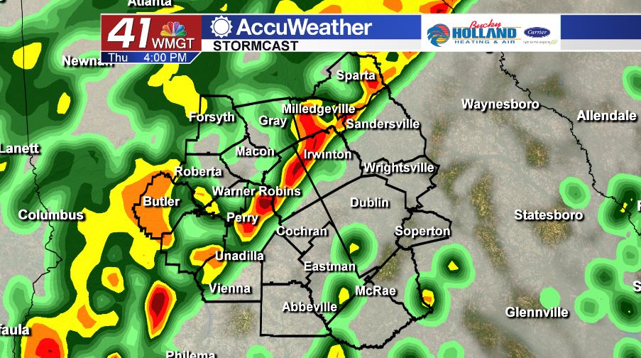
All modes of severe weather will be in play tomorrow as a cold front approaches from the west and moves through the area. This front will give us the chance to see strong to potentially severe storms all across our viewing area as we head throughout the day.
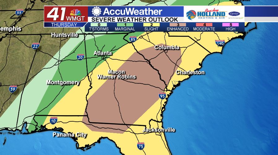
As of 5 am on Wednesday, February 5, the Storm Prediction Center has placed nearly all of Middle Georgia in an Enhanced (level 3/5) risk area for Thursday. The main storm threats will be damaging straight-line winds up to 60 mph as well as heavy rainfall rates that could allow for up to 4″ of rain to fall across Middle Georgia between now and Friday morning. Our tornado threat is low for now, but not zero. Make sure you do your job to have a way to get severe weather warnings if they were to be issued.
FRIDAY AND BEYOND.
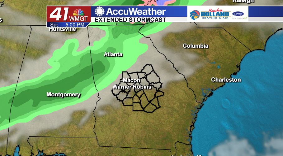
A few showers will hang around on Friday morning before we clear out and cool off as we head towards the afternoon. Temperatures on Friday will be in the middle 50’s before isolated showers and the 60’s return on Saturday.
Follow Meteorologist Dalton Mullinax on Facebook (Dalton Mullinax 41NBC) and Twitter (@MullinaxWX) for weather updates throughout the day. You can also watch his forecasts Monday through Friday on 41NBC News at Daybreak (6-7 a.m.) and 41Today (11 a.m.)

Leave a Reply