Strong cold front brings strong storms for Middle Georgia
MACON, Georgia (41NBC/WMGT) – A Tornado Watch is in effect for our viewing area until 8 AM this morning. A strong cold front brings a line of showers and storms, some of which could 


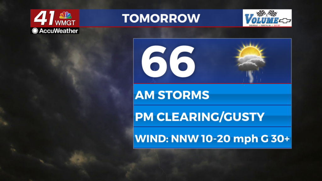
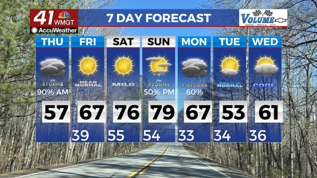
be strong to severe, through the state this morning. This line has moved into our northwest counties and has pushed east. The primary hazard with this system will be damaging wind gusts. Embedded spin-up tornadoes and small hail are possible. While an overall downward trend is expected as the line pushes eastward during the early hours Thursday morning, strong gusty winds will continue to be a threat. Impacts include possible downed trees and powerlines and localized flooding are possible with any stronger storms. The Storm Prediction Center has outlined a Marginal Risk (Level 1 of 5) encompassing the majority of Middle Georgia. Winds will quickly turn and pick up from the northwest following the frontal passage with drier air beginning to funnel into the northwest parts of the forecast area by Thursday afternoon. Over the next 24 to 36 hours temperatures will be a roller coaster following the cold front. Temperatures on Thursday will be 20 to 30 degrees colder during the afternoon than yesterday. Forecast highs will range from the mid 50s to the northwest and upper 60s to low 70s in the southeast. Thursday night into Friday morning will favor much cooler temperatures with values in the 30s to low 40s areawide thanks to strong radiational cooling. The next chance for rain will be Sunday into Monday.