
More storms for the weekend, but cooler days are on the way!
Good evening,
We saw a few storms pop up earlier this evening across Middle Georgia, but most of us stayed dry with highs in the lower 90’s. Expect more of the same as we start the weekend.
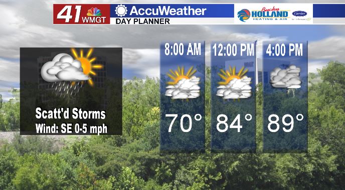
Saturday expect another warm day with highs in the upper 80’s and lower 90’s by the afternoon. The combo of a stationary boundary, heat, and humidity will lead to scattered storms by the afternoon.
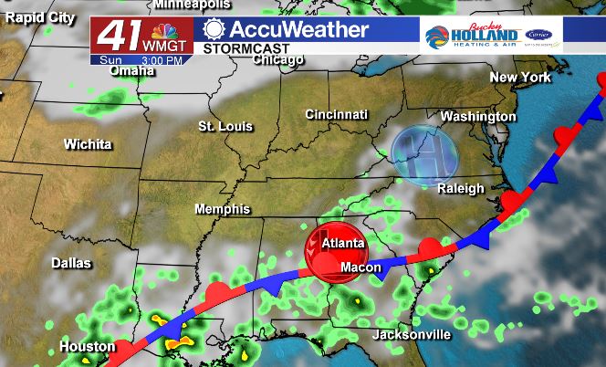
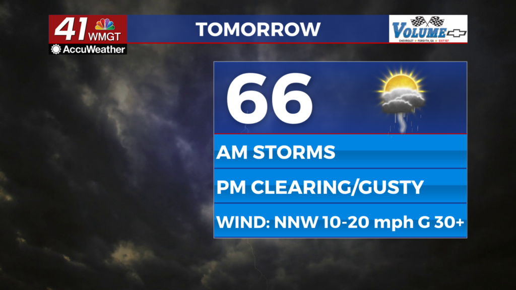
The stationary boundary that is bringing storms on Saturday hangs around most of Sunday, but a wedge front (from high pressure to our northeast) will bring some cooler temperatures.
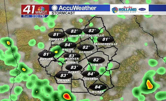
Highs are forecast to top out in the mid 80’s but our storm chances remain through much of Sunday afternoon.
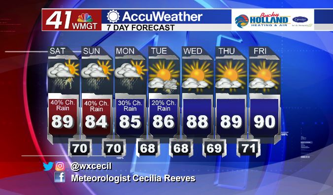
The mid 80’s hang around into the start of next week, but as we dry out, we will also heat up into the end of next week!


Leave a Reply