
Still feeling like spring Tuesday, severe storms possible midweek
High temperatures today warmed into the upper 70’s across Middle Georgia. Warm weather will stick around through much of the week, but we are also tracking strong storms.
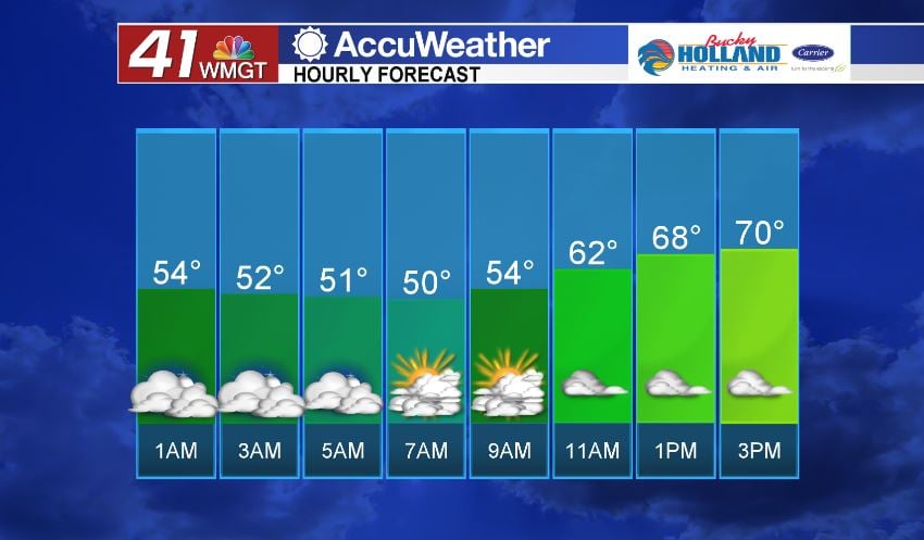
Overnight we will see clouds increasing across the southeast. This will keep low temps in the 50’s overnight.
Through the day Tuesday we will see mostly cloudy skies through the day, but should stay dry until Wednesday afternoon.
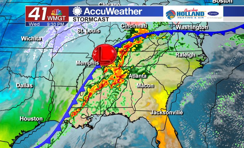
By Wednesday an area of low pressure begins to get more organized and starts to push through the southeast. This system will bring more moisture across the southeast through Wednesday and a small amount of instability…maybe just enough to see strong storms.
As the system works its way across the southeast we will see severe storms possible in Mississippi and Alabama. Judging from the way the storms are moving in from the west we will have a better idea of what to expect in our area.
Based on forecast timing the earliest we will see storms is overnight on Wednesday in our far western counties.
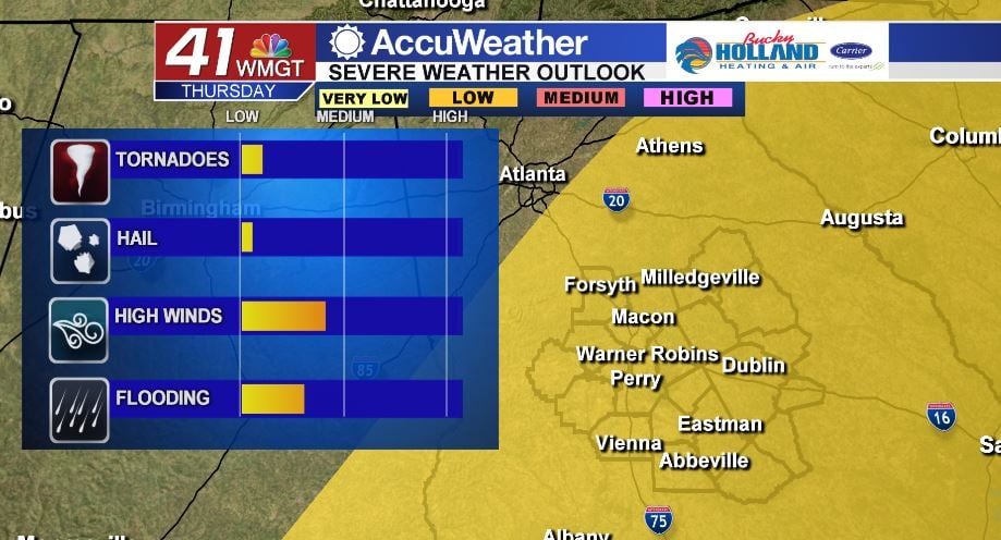
By Thursday the storm threat will begin to shift east and include more of Middle Georgia. The main threat during these storms will be damaging wind gusts and a brief isolated tornado.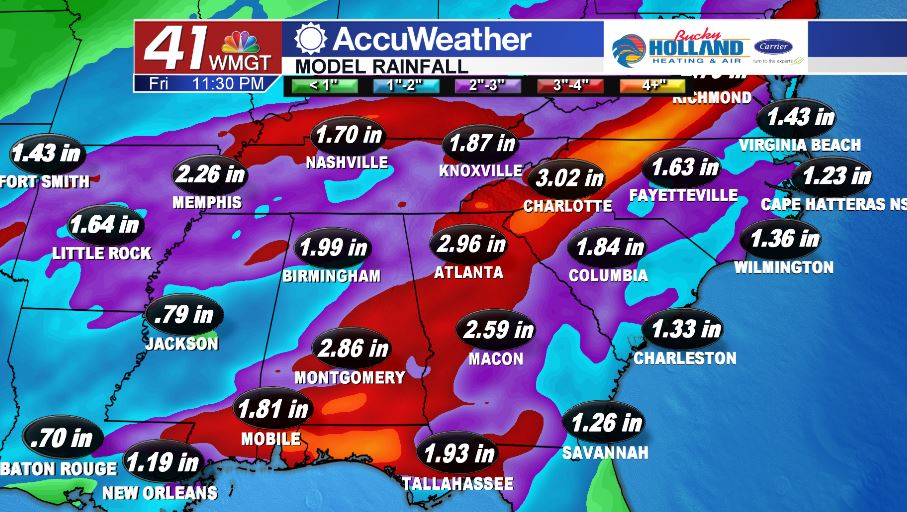
Not only will strong winds be a factor, we will also see heavy rain across Georgia, which could lead to flooding. Some places in Georgia (mainly north) could see over 3″ of rain over the course of just a few days.


Leave a Reply