


Very “spring-like” day ahead
MACON, Georgia. (41NBC/WMGT) – Temperatures will reach the middle 70’s this afternoon giving us a real taste of spring as we head into the first Monday of February.
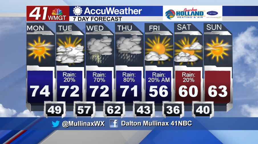
TODAY.
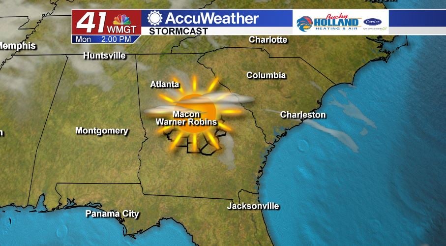
Under a mostly sunny sky, temperatures this afternoon will warm into the low and middle 70’s. As we head into the evening, high clouds will begin to roll into the area ahead of what is going to be a wet week across Middle Georgia. Temperatures tonight under a mostly clear sky will fall into the middle and upper 40’s with a few low 50’s as well.
TOMORROW.
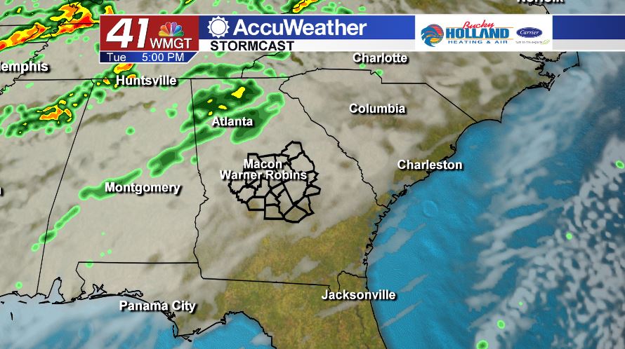
Mostly cloudy conditions are expected tomorrow with temperatures in the low to middle 70’s once again. Rain showers will be isolated at best with the greatest coverage of rain occurring in the northwest corner of the state. Temperatures tomorrow night and into Wednesday will be very warm in the middle to upper 50’s.
REST OF WEEK.
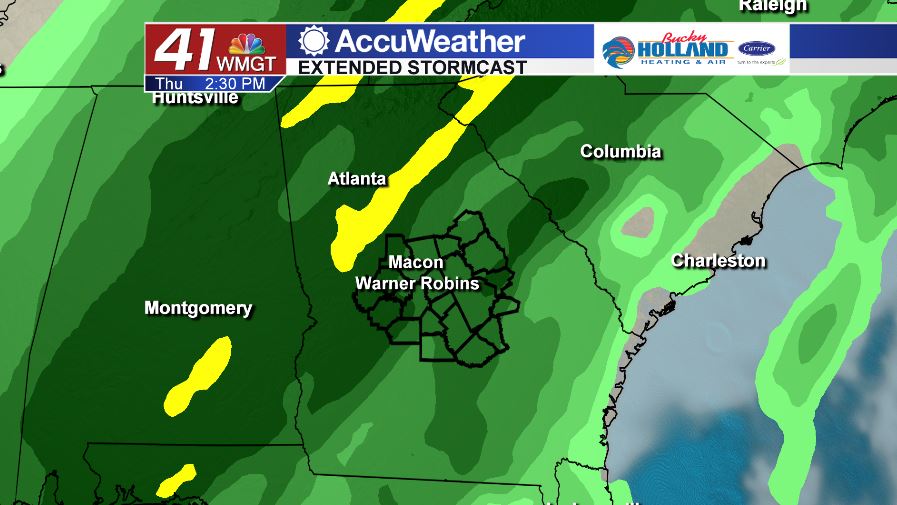
Rain chances as well as storm chances will be on the rise as we head into Wednesday and Thursday. A cold front will swing across the southeast bringing the chance for a few strong storms to Middle Georgia later on Wednesday and into Thursday.
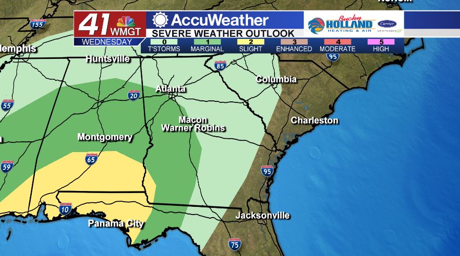
As of 5 am on Monday, February 3, the Storm Prediction Center has a part of Middle Georgia in a Marginal (level 1/5) risk area for storms on Wednesday into Thursday morning. The main storm threats at this time are damaging wind gusts of 40+ mph as well as heavy rain. Forecast specifics will be ironed out in the coming days so stay tuned.
Follow Meteorologist Dalton Mullinax on Facebook (Dalton Mullinax 41NBC) and Twitter (@MullinaxWX) for weather updates throughout the day. You can also watch his forecasts Monday through Friday on 41NBC News at Daybreak (6-7 a.m.) and 41Today (11 a.m.)

Leave a Reply