


Showers continue as heat builds towards the weekend
MACON, Georgia. (41NBC/WMGT)- Low pressure moves into the coastal Carolina region later today but scattered downpours will continue across Middle Georgia.
TODAY.
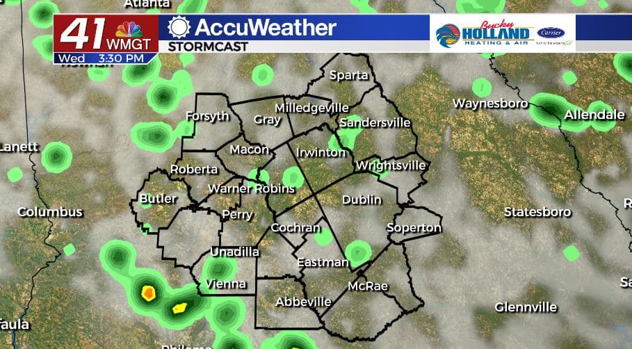
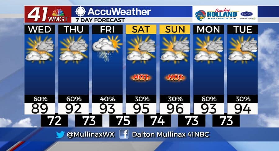
Under a partly sunny sky high temperatures will top out in the upper 80’s and lower 90’s across the region this afternoon. Scattered showers and a few thunderstorms will be present during the afternoon and evening hours as well. A few showers will hang around through midnight as temperatures fall into the low and middle 70’s. A mostly cloudy sky is expected overnight.
TOMORROW.
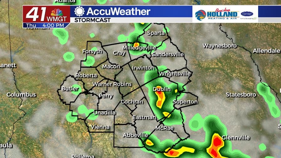
We will have one more day of decent shower and storm chances across Middle Georgia. High temperatures will warm into the low 90’s area wide under a partly sunny sky.
FRIDAY & BEYOND.
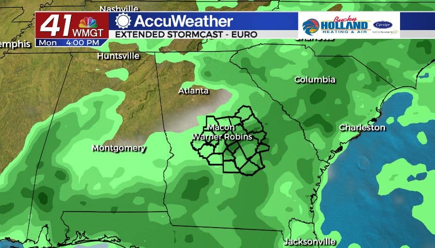
As the low pressure system continues to move further away we will return to our typical summertime setup where isolated showers and storms are possible each afternoon. High temperatures will be warming into the middle 90’s by the weekend with heat index values in the triple digits. By Monday, a weak cold front will try to move in bringing increased rain chances and slightly cooler temps.
Follow Meteorologist Dalton Mullinax on Facebook (Dalton Mullinax 41NBC) and Twitter (@MullinaxWX) for weather updates throughout the day. You can also watch his forecasts Monday through Friday on 41NBC News at Daybreak (6-7 a.m.) and 41Today (11 a.m).

Leave a Reply