

Showers and t-storms are here and are not going anywhere fast
MACON, Georgia (41NBC/WMGT) – Early Wednesday morning, we will begin to see the effects of the low pressure system to our west push eastward. Showers should begin filtering into 
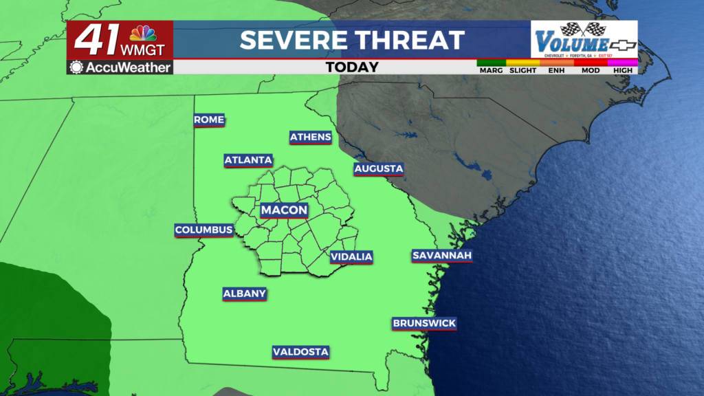
 west Georgia as early as 3 – 4am and then continue into the mid morning hours. There remains a chance for showers to redevelop into the afternoon and evening. The main inhibitor for these showers will be the overcast low clouds and how long they stick around. If they continue to stick around into the late morning/early afternoon and sunshine isn’t able to peek through, then we shouldn’t see too many showers. If low clouds dissipate earlier than expected, chances will increase to see showers. Wet, unsettled conditions are expected through the end of the week. A trough will develop and deepen to the east and south of the area, with two centers of low pressure – one over the Gulf and the other over the Mid-Atlantic on Friday lasting through Sunday. Increased moisture id forecast across Middle Georgia.

