Severe risk diminishes as Flood Watch lasts until 8 PM Tonight
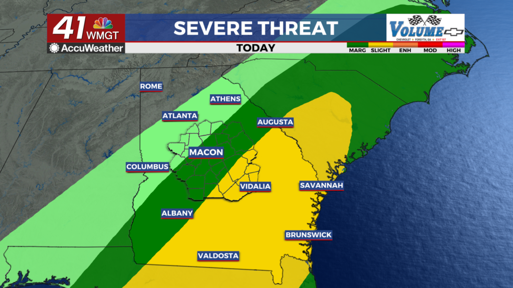
MACON, Georgia (41NBC/WMGT) – Widespread showers continue across Middle Georgia. Showers train over the same areas through this afternoon and early evening. The severe risk has greatly diminished but the Flood Watch continues through Monday evening. The big threat continues to the rain. The slow moving nature of this system has brought widespread 1 to 2 inches of rain across the region along with a steady rain. Expect some training convective elements as some redevelopment continues to take place back in Alabama. This development will occur along the cold pool line which is inching ever so slowly into Middle Georgia. Some training of convective elements will lead to some areas receiving 2 to 4 inches of rainfall, with isolated totals up to 5 to 6 inches where repeated rounds occur. This will lead to potential flooding and flash flooding issues. A Flood Watch remains in effect through Monday evening as rain is expected to linger. As the system very slowly slides to the southeast, rain will transition to showers. The line of storms has loss a good bit of strength due to the loss of instability, however, we could see some invigoration Monday afternoon in east central Georgia which is expected to still be within the warm sector. Primary concerns will be occasional damaging wind gusts with a possible quick spin up tornado. The cold front finally pushes into the region Monday night. Clouds should begin to clear, and winter will remind us that it isn’t ready to call it quits. Temperatures will drop well into the lower 40s.