Scattered storms return Tuesday, Idalia impacts the area Wednesday
We will be staying in our summertime pattern of 90s and scattered storms Tuesday, before we see potential impacts from TS Idalia.

It was another warm day in Middle Georgia with a few pop-up storms this afternoon.
Overnight we continue to see a few storms, but we should be dry by Tuesday morning.
Highs tomorrow will be pushing back to the 90s and upper 80s with high humidity continuing.
Scattered showers and storms will be possible for the afternoon and into Tuesday night.

As of 9 pm Monday, Idalia is a strong Tropical Storm, that is fighting some of the wind shear to its west.
Regardless this storm is still forecast to move over very warm waters, which will allow it to rapidly intensify.
It is forecast to make landfall as a major hurricane, a strong category 3 storm.

You will notice from this graphic that parts of Middle Georgia are within the forecast cone on Wednesday.
This reflects what we are seeing in a few of our weather models as well.

The graphic above shows what the European model is depicting for Wednesday morning.
If Idalia does follow this path, this would still put much of our area within the wind field of the storm.

Under that assumption we can expect to see some areas of Middle Georgia with wind gusts up to 50 mph.
Sustained winds during the afternoon will likely stay around 10-15 mph for most of the area.

Rain totals could push close to 5″ in our southern counties, closest to the eye of the storm.
This will very much be a haves and have-nots situation with our rain totals.

The bottom line with all of this is that the forecast will change, especially once the system moves into the Gulf of Mexico.
Also, note that there is a period of time when parts of the area will be under the “dirty side” of the storm.
This means there is a small chance of a spin-up tornado, so make sure you have a way to get your storm warnings.

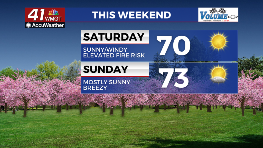
The rest of the week will be pretty quiet with a beautiful forecast for Labor Day weekend.


