Scattered storms possible Thursday with highs in the 80s
A stationary boundary that has set up over our area will be the starting point for a few storms Thursday afternoon. A few storms could become severe.

It was a warm and pleasant day across Middle Georgia with just a few isolated showers popping up this afternoon.
A cold front stalled over our area this afternoon, leaving dry, stable air north of the boundary.
Overnight, clouds will start to push in, helping to keep lows mainly in the mid and upper 60s.
Tomorrow will bring a similar forecast to what we saw today.
Scattered showers and storms will be possible through the afternoon and evening.

A few storms could be strong or severe tomorrow afternoon.
The main impacts from any storms tomorrow will be damaging wind gusts and hail.
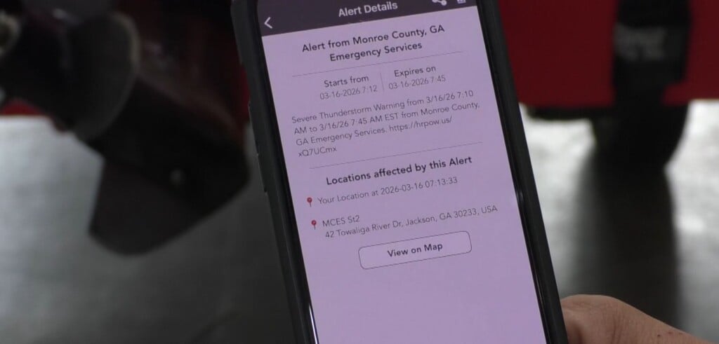
Stay weather aware if you are going to be outdoors Thursday afternoon.

The stationary boundary over our area will start to fall apart by Friday, leading to a typical summer day of pop-up storms.
Highs Friday will also warm to the upper 80s (depending on when storms start to fire up).
Storms could last into the evening.

The weekend will stay mostly dry with just a few isolated showers and storms possible.
Highs for the weekend will be heating up into the 90s with mostly sunny skies during the day.

Next week will be starting with a cold front pushing south, bringing scattered thunderstorm chances.
High temps will cool into the mid 80s with showers possible through Wednesday.