Scattered storms and heat return Tuesday
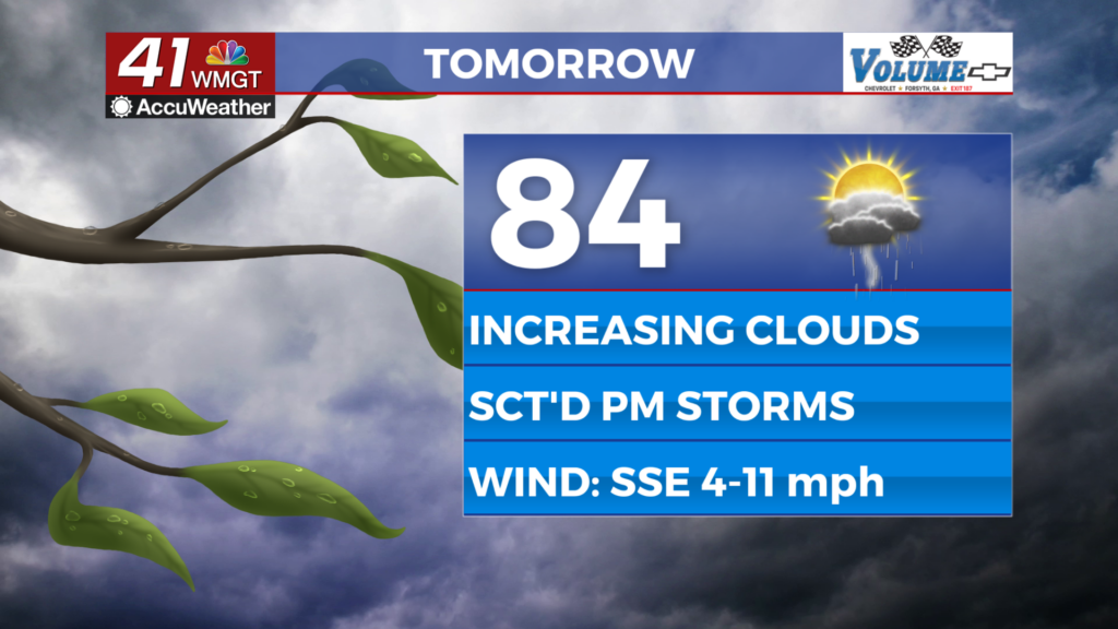
Middle Georgia will be heating into the upper 80s on Tuesday, before a line of rain and storms moves into the area

After a hot day on Sunday, it was nice to get a cool down today with highs in the mid 80s.
A few showers are still possible tonight as a weakening line of storms from North Georgia pushes south.
Tuesday will start pleasant and sunny, but we will quickly heat up into the upper 80s.
By the afternoon scattered showers and storms will pop up and linger into the evening.

Wednesday a cold front will start to drop into the area, bringing another round of showers and storms.
Some of these could contain gusty winds and frequent lightning, but widespread severe weather is not expected.
This cold front will drop in and help to cool us off on Thursday, but showers will still hang around.
Our cool down will be short-lived as high warm back to the 80s for the weekend.

Dry weather will return to the area for Friday and most of Saturday, before storms return for Sunday.
Mid 80s will be back for the weekend and the start of next week.