


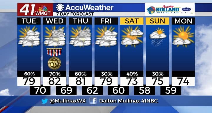
Rain, warm temperatures to hang around this week
MACON, Georgia. (41NBC/WMGT)- High pressure and Eta will combine to send plenty of moisture for showers our way over the next few days.
TODAY.
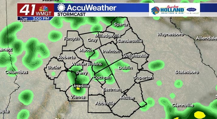
Rain coverage will increase across Middle Georgia today. Scattered showers and a few storms are possible this afternoon and evening. Temperatures will be nearing record breaking territory in the upper 70’s and low 80’s. Overnight lows will only fall into the upper 60’s and lower 70’s under a cloudy sky. Showers will be isolated overnight.
TOMORROW.
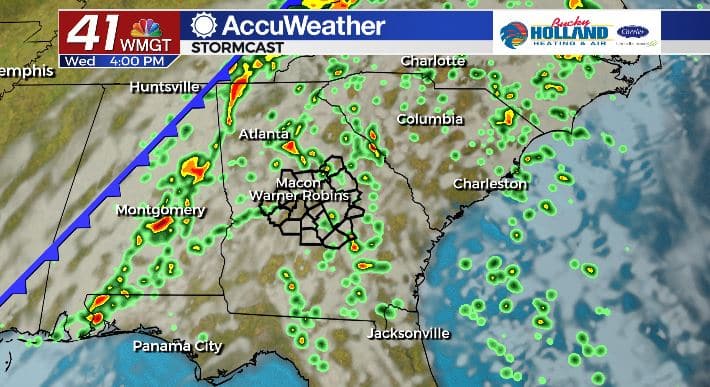
WE look to maximize rain potential Wednesday as a fire hose of tropical moisture opens up across the region ahead of a cold front. Locally heavy rainfall is possible with these downpours. Temperatures will remain in the low 80’s with a mostly cloudy sky.
EXTENDED FORECAST.
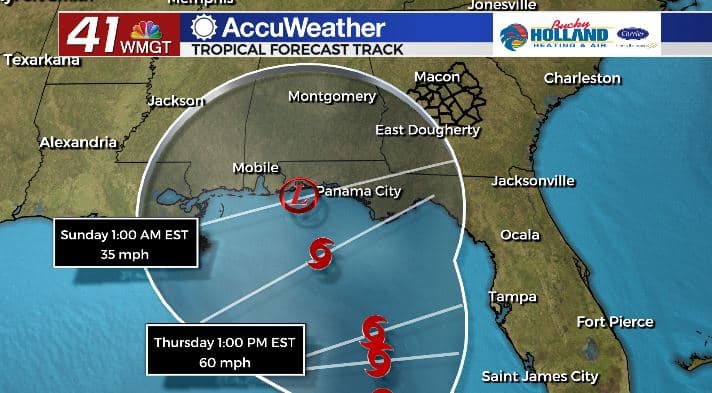
Our extended forecast will be dictated by Eta’s path. The further the storm tracks west the less rain we will see later this week and into the weekend. The current forecast path can and likely will change in the coming days. Stay tuned.
Follow Meteorologist Dalton Mullinax on Facebook (Dalton Mullinax 41NBC) and Twitter (@MullinaxWX) for weather updates throughout the day. You can also watch his forecasts Monday through Friday on 41NBC News at Daybreak (6-7 a.m.) and 41Today (11 a.m).

Leave a Reply