Rain moves out Wednesday as warm weather returns
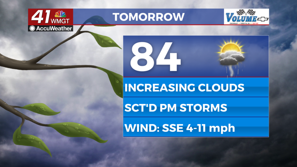
We will finally be getting a break from rain and clouds by Wednesday afternoon. Partly cloudy skies will allow us to warm into the 80s.

It has been another cloudy day in Middle Georgia with off-and-on showers continuing this evening.
We will continue to see a chance for rain overnight and into early Wednesday.
As the low pressure that is sparking those showers pushes south, it will take the persistent cloud cover with it.
Sunshine will return to the area for the afternoon, allowing our high temps to warm into the 80s.
Dry weather will start to settle in and will be sticking around through Thursday.

By Friday we will be closely watching two different systems that could impact our weekend forecast.
A cold front will be dropping in from the Great Lakes region to help keep our highs on Friday in the low 80s and upper 70s.
This front will be mostly dry, so we are not expecting to see rain being generated from this.
At the same time, an area of low pressure on the Atlantic coast will move north, adding to cloud cover Friday night.

By Saturday, all eyes will be on the low pressure and the path that it could take.
If this low takes a westward swing into our area, we could see rain and storms Saturday evening and Sunday.
It is also possible that the low could travel up the coast, leaving us dry for the weekend.
We are still too far out to know exactly what will happen, but if you are planning an outdoor event for the weekend, be sure to stick with us for forecast updates.

Showers will continue to be possible early next week for Memorial Day, with a return of warmer weather.