Rain and storms becoming more scattered Thursday
As a cut-off low tracks north on Thursday our rain coverage will become less widespread. Temps will warm through the end of the week.

Rain and storms continued today across Middle Georgia, adding to our rainfall totals from the week.
The cut-off low that has been causing our unsettled weather will finally be moving out through the end of the week.
Even with the low pushing north, scattered storms will be likely through the afternoon.
A stationary boundary associated with the surface low will be the catalyst for storms tomorrow and Friday.

The forecast for the end of the week and the weekend is trending drier as we get closer.
Dry air will slowly filter in behind the low.
This will help to limit our rain chances starting Friday evening.
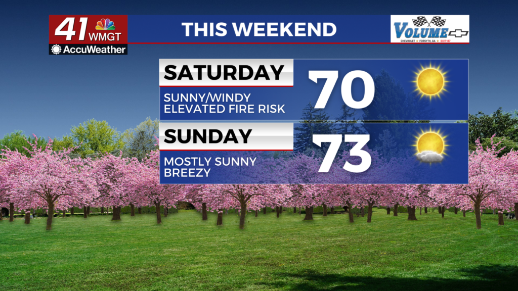
Not only will the dry air help to keep us dry, but it will also allow us to warm into the upper 80s and low 90s.

The weekend break from the rain will be short, as more rain and storms are on the way to start next week.
Monday and early Tuesday we will see a chance for showers and storms ahead of a cold front.
The good news, after this soggy week, is that dry weather will return by the middle of next week.

As rain moves out Tuesday night we will see clearing and high pressure move back in.
Highs for much of next week will be warming into the low 90s.

Tropical Storm Brett is still pretty far in the Atlantic but is forecast to move east at around 15 mph.
Still no immediate threats to the continental US.


