One more dry day before rain arrives
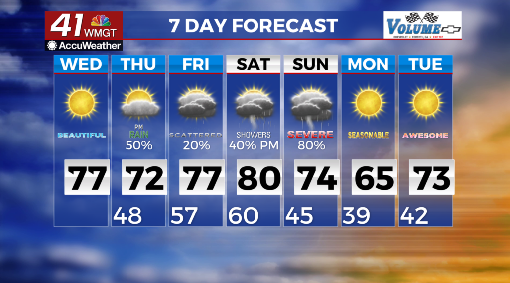
MACON, Georgia (41NBC/WMGT) – The primary weather concern will be the potential for high fire dangers in the north Georgia mountains. This region received no rainfall yesterday and fuels had plenty of time to dry out. Southerly flow may allow dewpoints to gradually climb during the day on Wednesday, however that remains to be seen. A shortwave trough drifting east from Texas arrives in Georgia on Thursday. Increased cloud cover and a 3 to 7 degree drop in high temps (compared to Wednesday) are anticipated. Rain chances will also return, with the greatest rain potential in western Georgia during the afternoon and evening hours. Daytime heating in the afternoon may increase convention chances along with wind shear and instability.
This may be enough to provide some level of severe weather risk in Western Georgia.  For Friday, moisture will be moving northward into the area as a low pressure system deepens and begins to lift northeast across the Central Plains. By Saturday morning, this system will be situated over the Upper Midwest/Great Lakes region, with the associated surface cold front draped across the Mississippi Valley. By Saturday evening, an additional low will initiate and lift northward across the Tennessee Valley. While some showers and embedded thunderstorms may be ongoing in portions of north Georgia Saturday morning, additional convective development will occur to our west on Saturday as the surface cold front approaches. The severe risk looks to be highest from late Saturday into Sunday as these storms push into the state.