


Next storm system to bring widespread showers to Middle Georgia
MACON, Georgia. (41NBC/WMGT) – Dry and mild conditions kick off 2020, but rain chances will be on the rise tomorrow ahead of an approaching storm system.
NEW YEAR’S DAY.
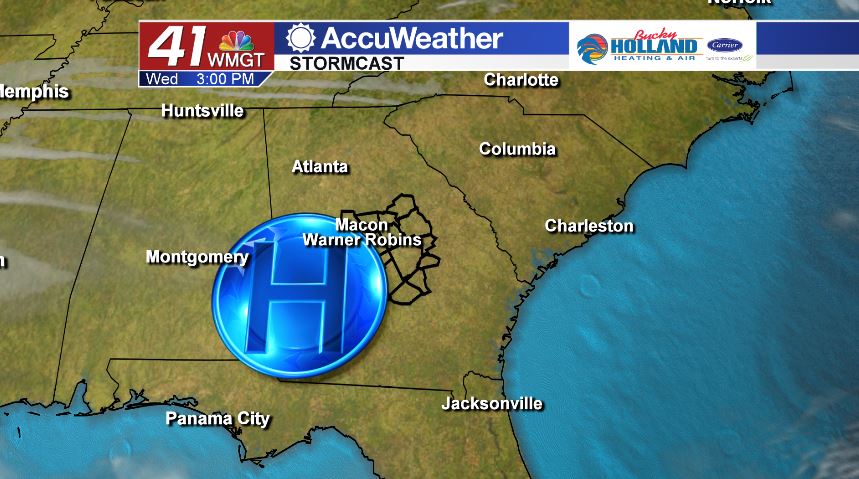
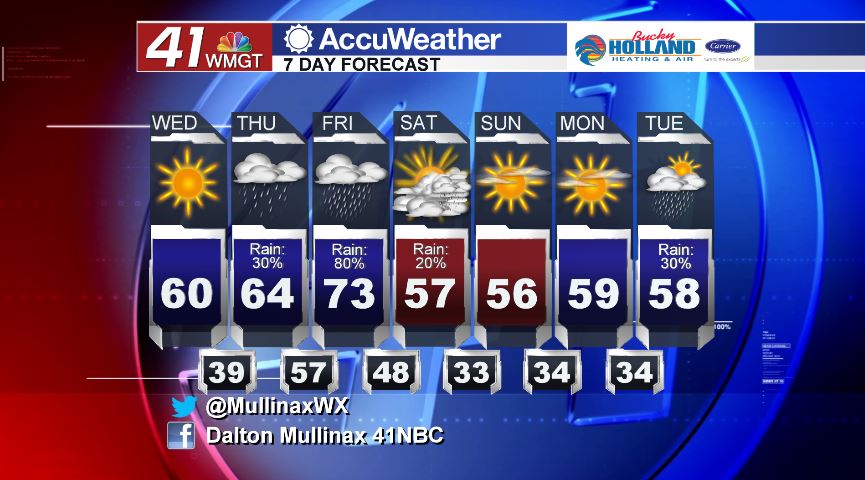
Under a mostly sunny sky on this first day of the new year, temperatures will be topping out in the upper 50’s and low to middle 60’s area wide. High pressure dominates our region this afternoon before sliding to the east tonight. As the high pressure system moves further away, cloud cover will be on the rise. Tonight, a partly cloudy sky is in store with temperatures falling into the upper 30’s and lower 40’s. We stay dry today, but that will change tomorrow.
THURSDAY.
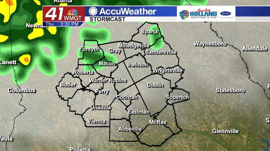
Ahead of our next storm system, we will see a gradual warming trend combined with increased rain chances. Isolated showers will move in after lunch time and will continue off and on throughout the day. Under a mostly cloudy sky, temperatures will be topping out in the middle 60’s.
FRIDAY AND BEYOND.
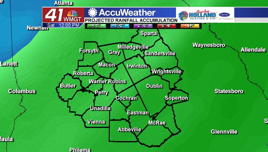
A cold front sweeps through the area on Friday bringing showers to the area. By noon on Saturday, most of the rain will have exited the region with just a few lingering wrap around showers left. Rainfall totals for this storm system are expected to be in the half inch to one inch total with greater totals occurring where heavier showers set up. While the first half of the weekend will be wet at times, Sunday is a different story. Sunday looks to be mostly sunny and dry with temperatures in the middle 50’s.
Follow Meteorologist Dalton Mullinax on Facebook (Dalton Mullinax 41NBC) and Twitter (@MullinaxWX) for weather updates throughout the day. You can also watch his forecasts Monday through Friday on 41NBC News at Daybreak (6-7 a.m.) and 41Today (11 a.m.)

Leave a Reply