


Mostly dry over next several days
MACON, Georgia. (41NBC/WMGT) – It’s a sunny start to the work week before a few showers move through with a cold front tomorrow.
TODAY.
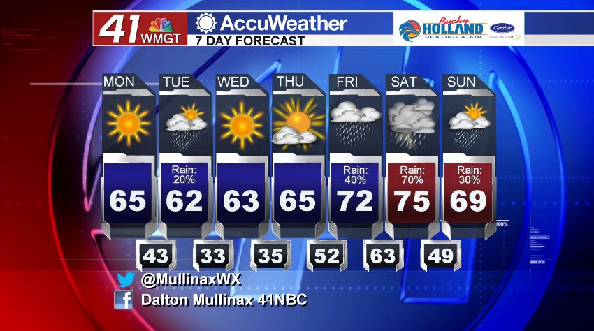
Under a sunny sky this afternoon, temperatures across the area will be topping out in the low to middle 60’s. Temperatures continue to run above average as our normal high temperature this time of year is 57°. As we head into the overnight hours, high clouds will begin to stream in ahead of our next frontal system. Tonight, temperatures will be bottoming out in the low to middle 40’s.
TOMORROW.
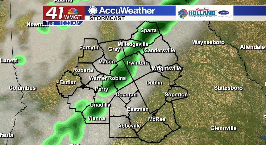
Our next cold front is a weak one but will bring a few isolated showers to Middle Georgia on Tuesday. Rainfall totals are expected to be light, with most areas staying dry. Temperatures behind this front will cool off slightly with overnight lows on Wednesday morning expected to be in the middle 30’s.
EXTENDED FORECAST.
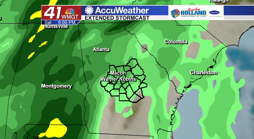
Wednesday and Thursday are dry and mostly sunny with afternoon highs in the middle 60’s. We begin to see a wet weather pattern set up on Friday. Right now, we are continuing to monitor the threat for severe weather on Saturday. We are several days away from this event and the forecast will change, but model data continues to suggest we could see strong to potentially severe storms this weekend. While it is too early for specific timing or modes of severe weather, make sure to stay tuned for updates over the next several days.
Follow Meteorologist Dalton Mullinax on Facebook (Dalton Mullinax 41NBC) and Twitter (@MullinaxWX) for weather updates throughout the day. You can also watch his forecasts Monday through Friday on 41NBC News at Daybreak (6-7 a.m.) and 41Today (11 a.m.)

Leave a Reply