


Morning Storms lead to drier afternoon
MACON, Georgia (41NBC/WMGT) – A powerful shortwave is the driving support for thunderstorm activity for Middle Georgia Wednesday morning. As this occurs, thunderstorm activity will 
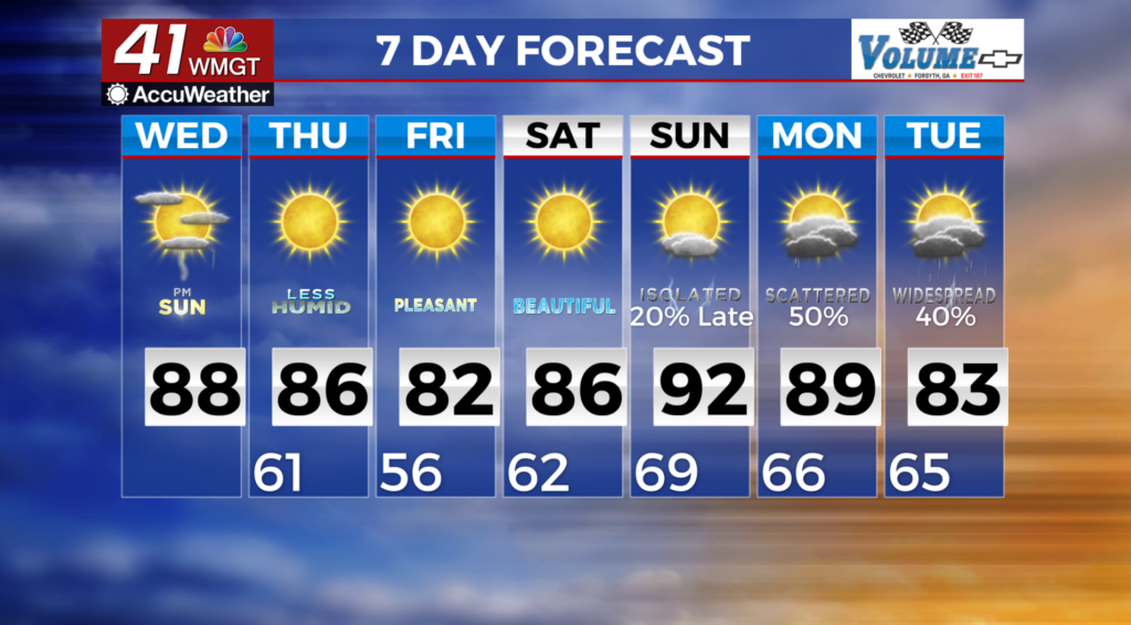
 be increasingly driven by cold front interaction. This may cause storms to align in a more east-west direction. This will decrease the potential for damaging winds. While instability will be favorable for storms, it will decrease as convection moves into Central Georgia. The primary thunderstorm hazard as the storms move south of I-85 is expected to be damaging wind gusts in the 40 to 60 mph range. Isolated thunderstorms may linger in Middle Georgia Wednesday morning. By the afternoon the cold front should push into south Georgia resulting in a more stable atmosphere. This will lead to dry weather and partly cloudy skies in the afternoon. A slight reduction in temperatures is expected behind the front, however, most areas will still see temperatures in the 80s Wednesday afternoon. For Thursday expect temperatures to be a few degrees below normal and quite pleasant — in the upper 70s to mid 80s.