


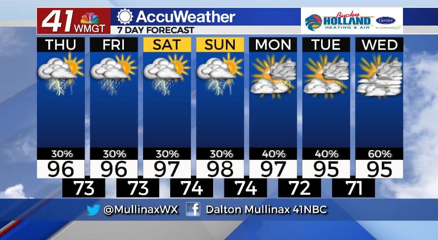
Hot, humid conditions to continue
MACON, Georgia. (41NBC/WMGT)- A stalled out frontal boundary across Middle Georgia will allow for showers and storms over the next handful of days.
TODAY.
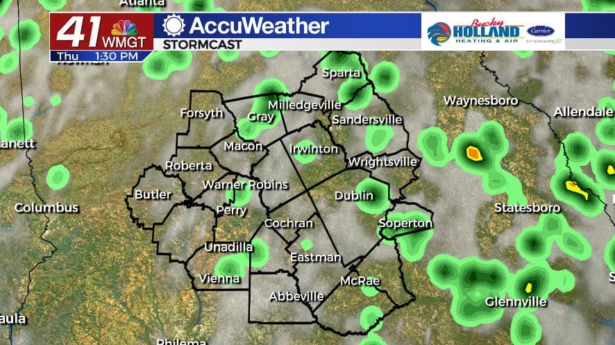
The “cold” front that has marched across the southeast is beginning to stall out across the area. For Middle Georgia that means afternoon showers and storms will be isolated across the region as temperatures climb into the middle 90’s. A few storms could be on the strong side with damaging wind gusts and frequent lightning as the main storm threats. Overnight low temperatures will fall into the low and middle 70’s under a partly cloudy sky.
TOMORROW.
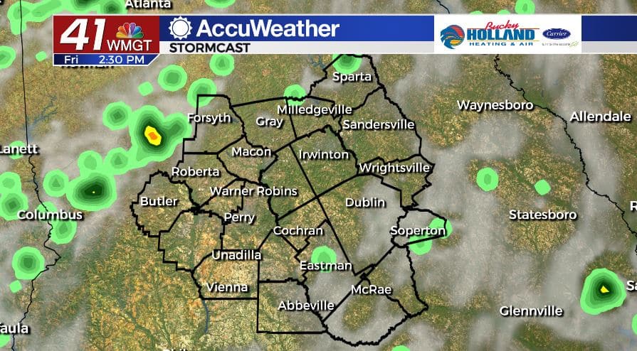
For the final day of the work week we can expect more of the same. Temperatures will be back in the middle 90’s during the afternoon under a mix of sun and clouds. Isolated afternoon showers and storms will continue as well.
WEEKEND & BEYOND.
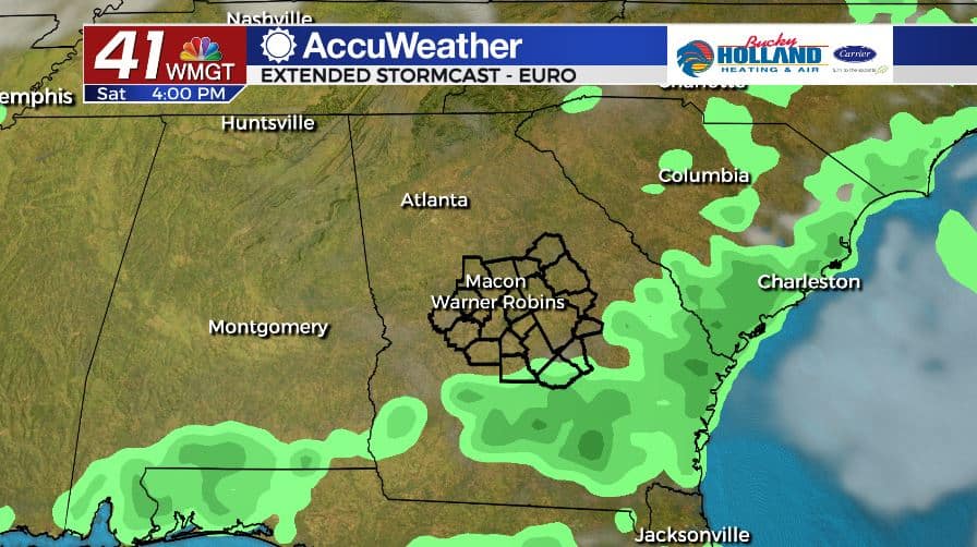
Showers and storms will stay rather isolated through the weekend as temperatures climb into the upper 90’s. By early next week rain coverage will become a little more scattered across our area. Temperatures will continue to run above average in the middle 90’s.
Follow Meteorologist Dalton Mullinax on Facebook (Dalton Mullinax 41NBC) and Twitter (@MullinaxWX) for weather updates throughout the day. You can also watch his forecasts Monday through Friday on 41NBC News at Daybreak (6-7 a.m.) and 41Today (11 a.m).

Leave a Reply