


Hot end to September
MACON, Georgia. (41NBC/WMGT) – We broke a record high temperature in Macon yesterday, and there is a good chance we break a few more records over the next couple of days.
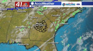
TODAY.

The weak front that passed through yesterday is beginning to erode just to our south. High pressure at the surface builds back in this afternoon and that means hot and dry air is here to stay. Temperatures this afternoon will be in the middle to upper 90’s under a mostly sunny sky while overnight temperatures will be falling into the middle 60’s.
TOMORROW.
A weak disturbance will give us the chance for an isolated shower or two tomorrow afternoon, but with dry air in place at the surface it will be difficult to see these showers translate down to the surface. Temperatures will still be on the warm side in the upper 90’s under a partly sunny sky. Overnight lows will hover in the mid to upper 60’s.
EXTENDED FORECAST.

We stay warm and dry through the rest of the forecast. No accumulating rain chances are in the forecast through the next week and a half.
 Follow Meteorologist Dalton Mullinax on Facebook (Dalton Mullinax 41NBC) and Twitter (@MullinaxWX) for weather updates throughout the day. You can also watch his forecasts Monday through Friday on 41NBC News at Daybreak (5-7 a.m.) and 41Today (11 a.m.).

Leave a Reply