High pressure keeps weather warm and calm for the week
High pressure has moved into Middle Georgia and will be keeping us dry for the week. Highs will warm back to the 80s Tuesday

It has been a beautiful day across Middle Georgia after a cold front moved through last night.
High pressure behind the front will continue moving over our area through the day Tuesday, helping to keep the skies clear.
Tuesday will bring us a warm-up back to the 80s by the afternoon.
As high pressure pushes to our east, winds will shift to be from the east and southeast on Wednesday.
This will kick our high temperatures up to the mid-80s through the end of the week.

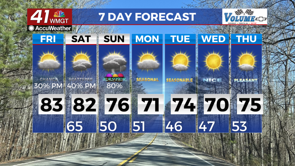
By Friday we will start to see an increase in our cloud cover, ahead of our next storm system which gets here this weekend.
A cold front will be pushing into the area during the day on Saturday, bringing us our next chance for showers and storms.
Right now we are not seeing a threat of widespread severe storms but ’tis the season, so we will keep an eye on it.

A few lingering showers are possible Sunday, but most of us should be staying dry behind the front.
The main impact from the front will be a significant cooldown, with highs being limited to the low 70s and lows in the 40s.