Heavy rain and strong storms impact your Thursday

MACON, GEORGIA (41NBC/WMGT)- A challenging forecast continues to unfold with competing effects of strong
moisture and a cold air wedge that’s being reinforced by rain and supported by high pressure until a cold front
moves into the area tonight.
To the north, we have rain and thunder, and to the south, at least for west central Georgia, strong to severe storms.
Here’s the set up. First, we have very deep subtropical moisture that is overrunning an old frontal boundary that has
fallen apart near the Gulf coast, secondly, a rain-cooled air mass and thirdly, a strong cold air wedge that has set up
over north and parts of Middle Georgia.
Temperature differences are stark, with near 20 degrees differences noted at cities as little as 20 miles apart. This
shows how dynamic the system is.
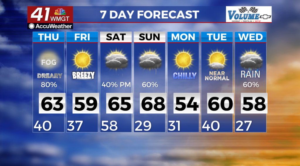
The front continues to push through the area this morning. The severe threat should decrease quickly. Colder air will
begin to filter in behind the front. In parts of North Georgia and Middle Georgia we might actually see the sun!
Temperatures tonight will return to more winter-like numbers, with lows in the upper 20s, 30s and upper 40s across


