


Dry today before wet end to work week
MACON, Georgia. (41NBC/WMGT) – We continue our roller coaster weather pattern today with a sunny and dry day expected. Rain chances will be on the rise as we head throughout the day tomorrow.
TODAY.
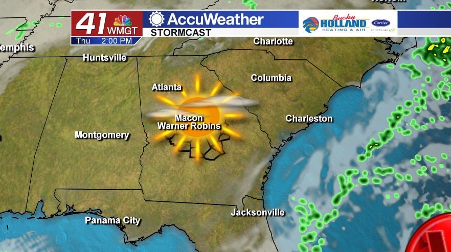
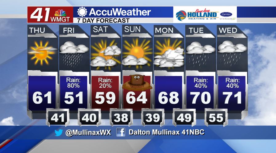
Dry air funnels in temporarily today, and that means we will be sunny and dry on this fourth day of the work week. With an abundance of sunshine expected, temperatures will be near normal with afternoon highs topping out in the upper 50’s and lower 60’s. Tonight, we will begin to see cloud cover increasing across Middle Georgia ahead of our next rain maker on Friday. Overnight lows will bottom out in the upper 30’s and lower 40’s under a partly to mostly cloudy sky.
TOMORROW.
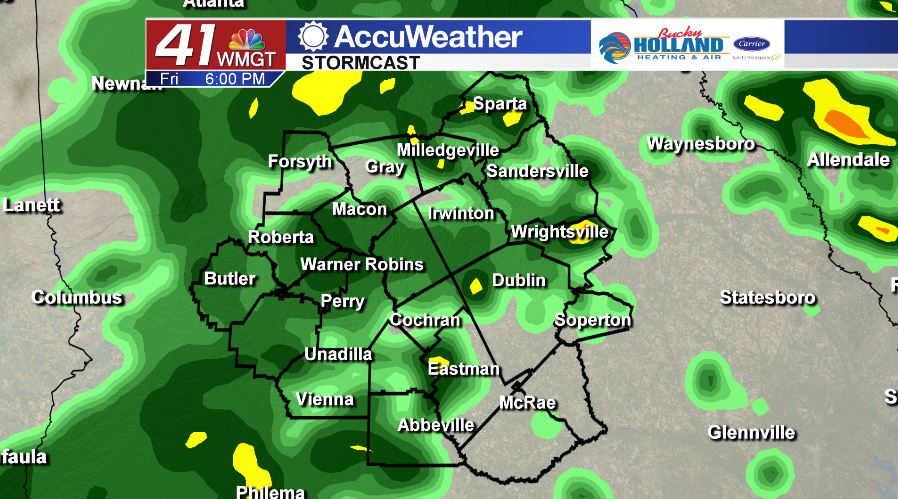
Make sure to have the rain gear ready on Friday. We will start the morning out with a few isolated showers, but as we head through the day rain coverage will be increasing. Temperatures are going to be running well below average. In most areas, we will struggle to make it out of the 40’s. Temperatures will be well above freezing during this period so frozen precipitation will not be occurring.
WEEKEND AND BEYOND.
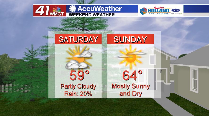
A few light showers will linger into Saturday morning, but for the most part we will be dry with a partly cloudy sky. High temperatures will be running in the upper 50’s. We’re sunny on Sunday with temperatures in the middle 60’s. An active weather pattern begins late on Monday and into Tuesday. High temperatures will be running above average as well in the upper 60’s and lower 70’s.
Follow Meteorologist Dalton Mullinax on Facebook (Dalton Mullinax 41NBC) and Twitter (@MullinaxWX) for weather updates throughout the day. You can also watch his forecasts Monday through Friday on 41NBC News at Daybreak (6-7 a.m.) and 41Today (11 a.m.)

Leave a Reply