Dry conditions return Friday with cooler than normal temperatures
A wedge front that moved in today across Middle Georgia brought rain and some cooler temperatures for the end of the week.

We were again dealing with rain and storms across Middle Georgia this afternoon.
As the wedge front pushed south, we also saw a drop in our temperatures.
Overnight we will see cloudy skies and breezy conditions with winds up to 20 mph.
Friday will finally bring a break from the thunderstorms we have seen for most of the week.
Clouds will hang around for most of Friday with some sunshine by the afternoon/evening.

Enjoy the one-day rain and storm break, because a cold front will approach the area Saturday afternoon/evening.
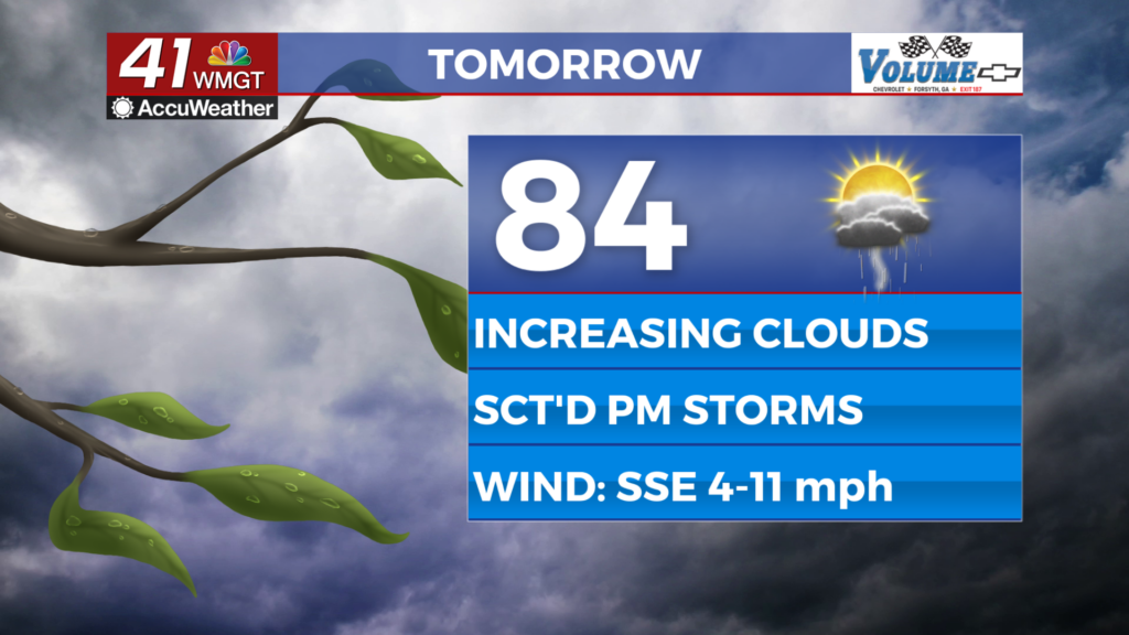
Highs on Saturday will be warming back to the mid-80s, with continued high humidity.

A few storms Saturday could be strong to severe with the main impacts being frequent lightning, high wind gusts, and hail.
Make sure you have a way to get your severe weather warnings if you are going to be out and about Saturday.

Scattered storm chances return on Sunday and Monday.
Next week another wedge front will move through the area, keeping us dry and cooling a bit from normal (mid-80s).