
Dangerous heat returns to Middle Georgia this week
MACON, Georgia (41NBC/WMGT) – Satellite imagery shows a front, which has plagued the state for the last few days, has finally begun to shift southward into southern Georgia. Light to moderate 


showers in West Central Georgia have begun their downward trend and clouds have begun to clear out with daytime heating. Also present in the imagery is the upper level ridge located over the Southern and Central Plains. Cloud motion shows the upper level northwest flow descending from middle Tennessee and the Ohio River Valley. This will prime us for the weather over the coming days as any upstream system is dumped into north and central Alabama. Models have slowly caught onto the development of a system early Monday. Clearing conditions going into this afternoon will develop a corridor of instability which will act as a guide for any organized storms which manages to develop. Any system which does develop an organized cold pool will be capable of gusty to 


damaging winds and heavy rainfall. The most uncertainty comes from the timing, when will the system get to us, and the track, will the system aim for Alabama or move more into Georgia. Models have begun to converge on a track generally along the Alabama/Georgia border if not towards the Atlanta metro. Current timing from models (should the system holds together) brings the 
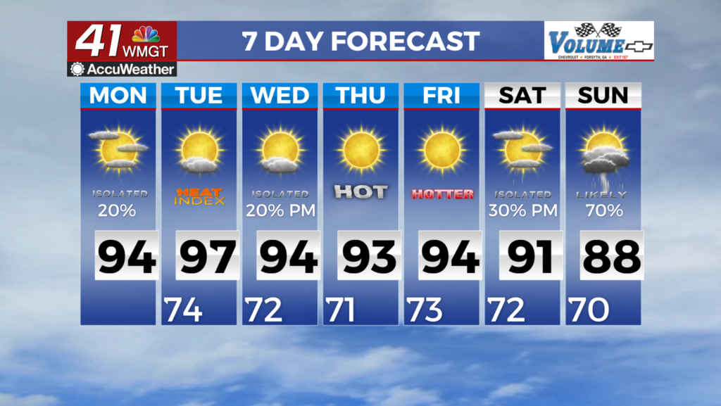
organized storms into Northwest Georgia as early as Monday morning and could reach the metro within 2 to 4 hours from arrival at the border. Due to the uncertainty, the temperatures forecast will be impacted. Should the system move further west or arrive weaker than expected, temperatures on Tuesday may be hot. Heat Advisory conditions tomorrow afternoon will be dependent on rain and cloud coverage. Conditions look even hotter on Tuesday, however further northwest flow and organized storm development could significantly impact Tuesday afternoon high temps. At this time, grids suggest heat indices well within the 105-110 for all but north mountains.