


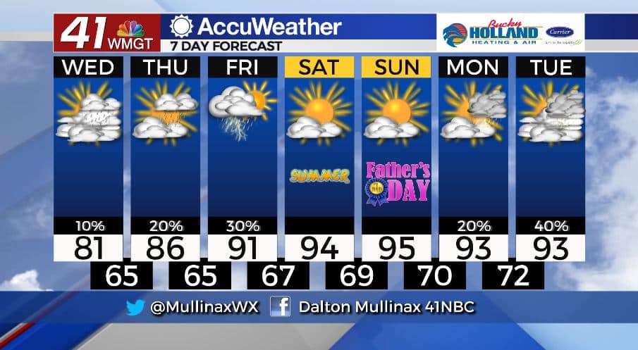
Cool again today, but hot weather is on the horizon
MACON, Georgia. (41NBC/WMGT)- An upper level low pressure system continues to dominate our weather as we head into the middle of the week.
TODAY.
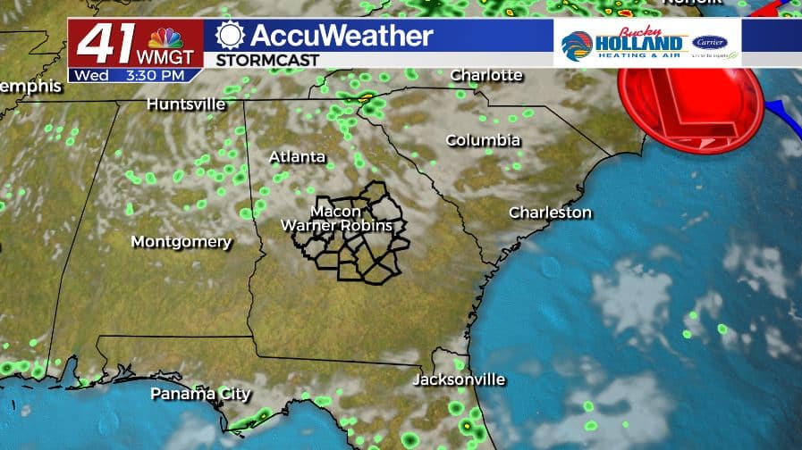
It’s going to be another cooler than normal afternoon across Middle Georgia as high temperatures only warm into the upper 70’s and lower 80’s. A partly cloudy sky is expected throughout the afternoon and will extended into the overnight where temperatures will fall into the middle 60’s. A light shower or two is possible today but most will stay dry.
TOMORROW.
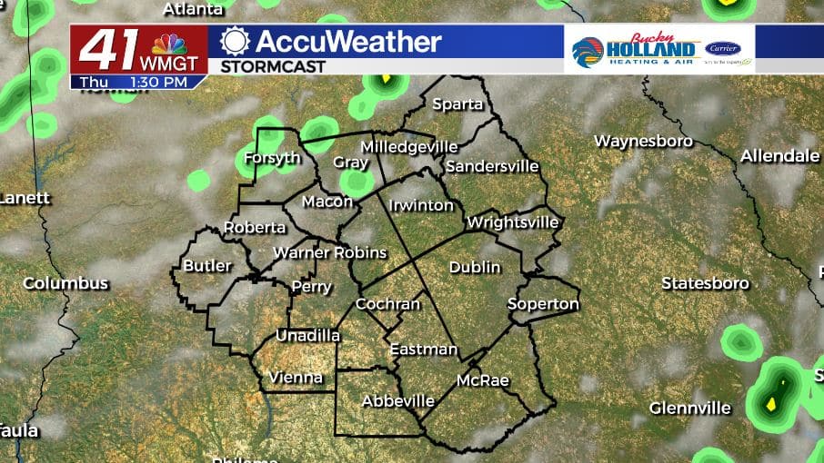
A little bit more sunshine is in the forecast tomorrow which will allow temperatures to climb into the middle 80’s. Isolated showers and a rumble of thunder are expected, albeit coverage will be limited. Overnight lows will once again return to the middle 60’s.
FRIDAY & BEYOND.
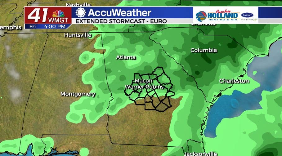
As the low pressure begins to lift to the north, our temperatures and rain chances will be on the rise on Friday. Isolated to scattered showers and storms are in the forecast on Friday as highs finally crack back into the 90’s. It looks to be a hot and mostly dry weekend across Middle Georgia. Summer officially starts Saturday evening at 5:44 pm.
Follow Meteorologist Dalton Mullinax on Facebook (Dalton Mullinax 41NBC) and Twitter (@MullinaxWX) for weather updates throughout the day. You can also watch his forecasts Monday through Friday on 41NBC News at Daybreak (6-7 a.m.) and 41Today (11 a.m).

Leave a Reply