Cold weather brings a shocking return to Winter
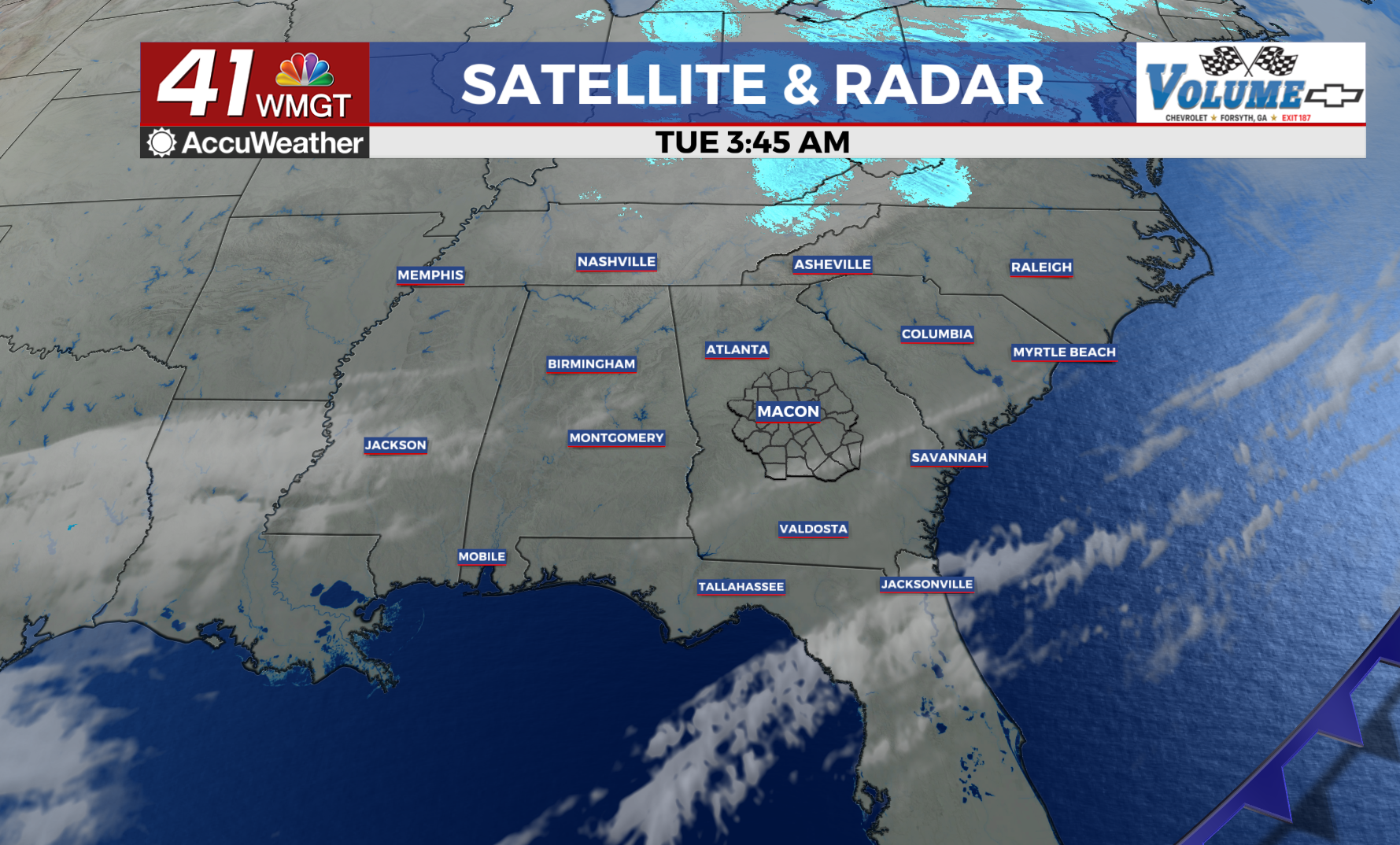
MACON, Georgia (41NBC/WMGT) – Yesterday morning’s cold front brought measly rainfall amounts across the state, leaving blustery, sunny skies in its wake.
Robust northwesterly flow has brought a shocking return to winter.
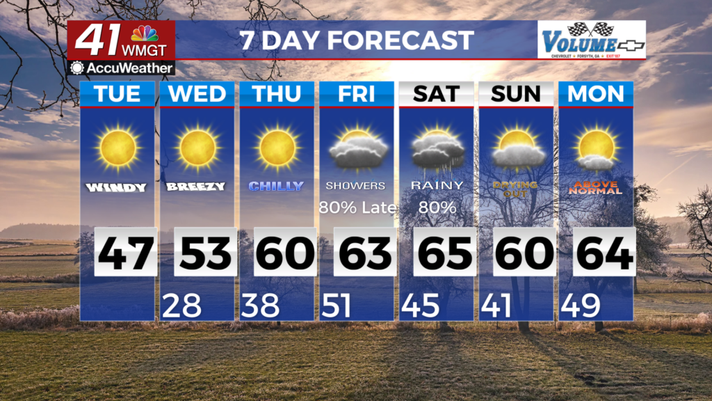
Winds of 20-30 mph with gusts to 30-35 mph have produced temperatures in the 40s.
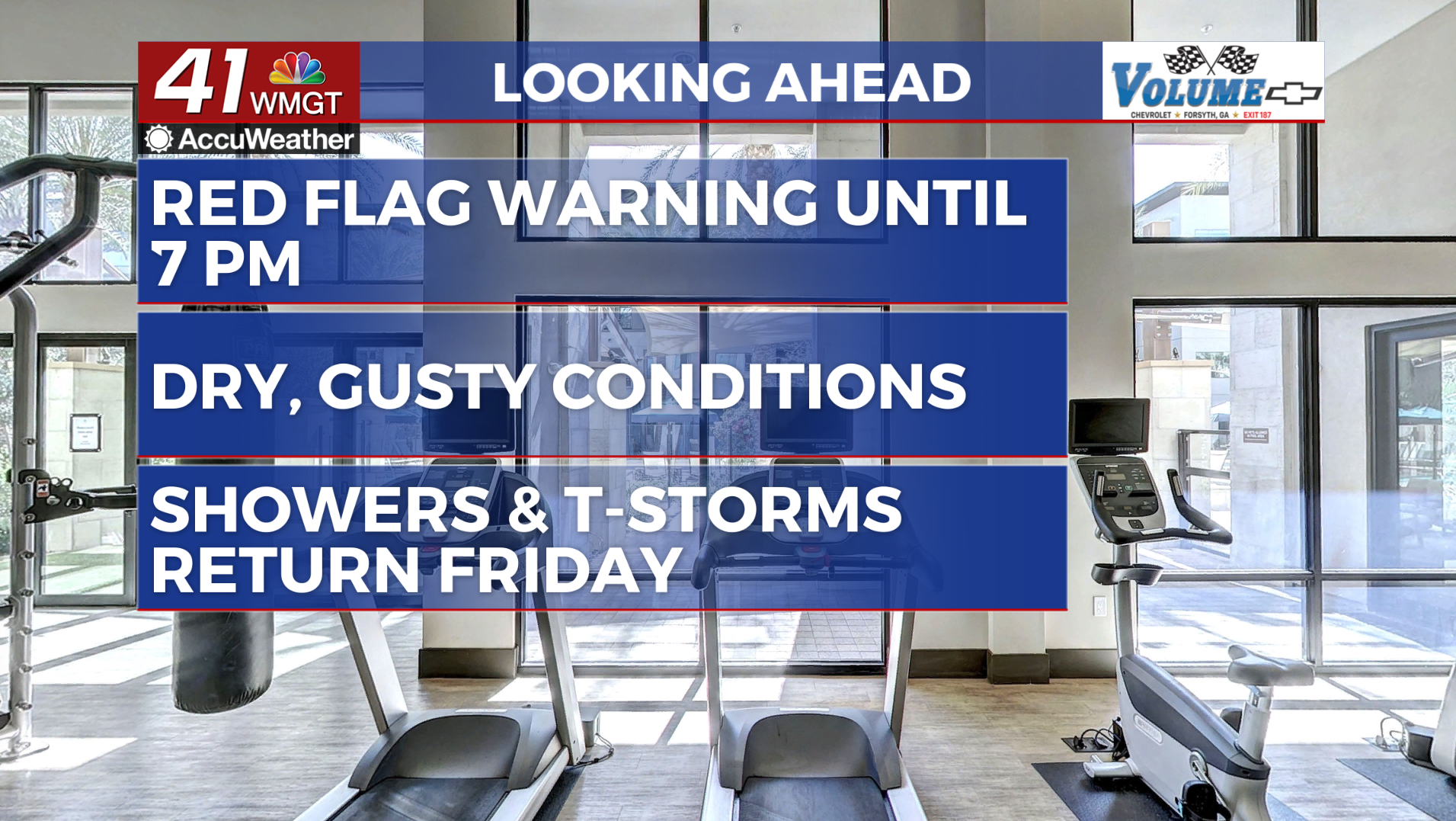
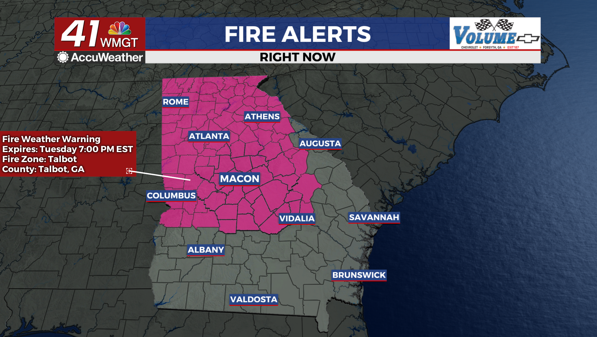
Dry, breezy conditions have dropped relative humidity values into the 20s and the issuant of a Red Flag Warning until 7 PM tonight.
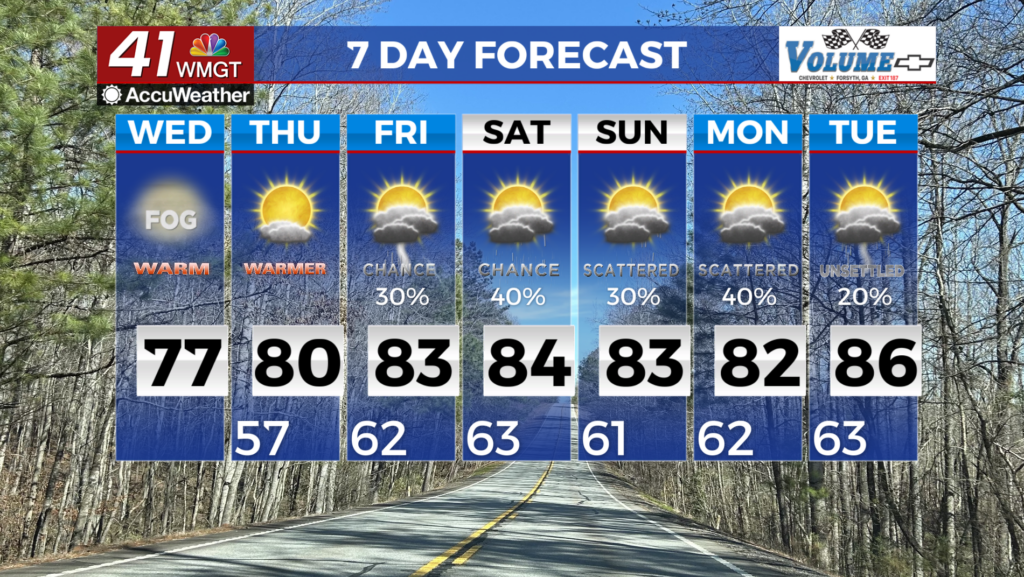
Hazardous fire weather conditions will continue to be the main forecast concern on Wednesday, as the very dry airmass remains over the region.
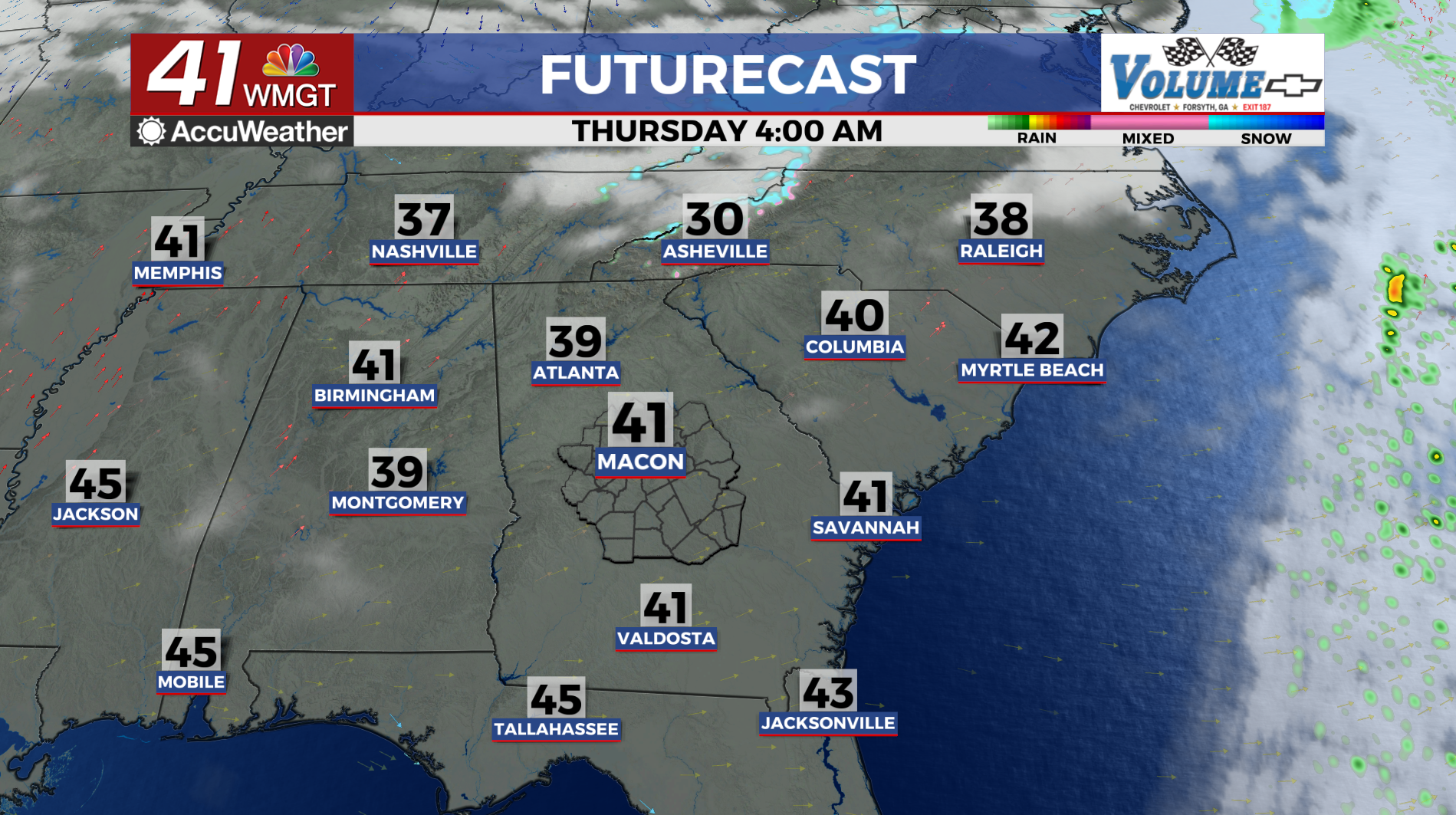
While winds are forecast to pivot from northwesterly to westerly, still expecting the dry airmass and little to no cloud cover to result in relative humidity bottoming out between 20% to 30% between late morning and mid-afternoon. The dry air will loosen its grip on Thursday as return flow nudges dewpoints up.
Similarly, temperatures will climb into the mid 50s to lower 60s in the afternoon compared to the upper 40s to mid 50s on Wednesday.