


Cold air to remain in place through midweek
MACON, Georgia. (41NBC/WMGT)- A dip in the jet stream has allowed the coldest temperatures since last Winter to spill into Middle Georgia.
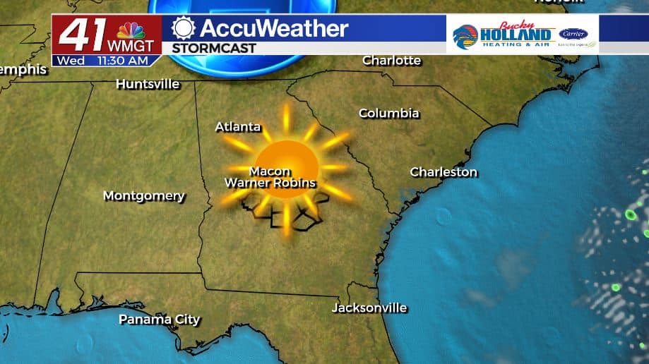
TODAY.
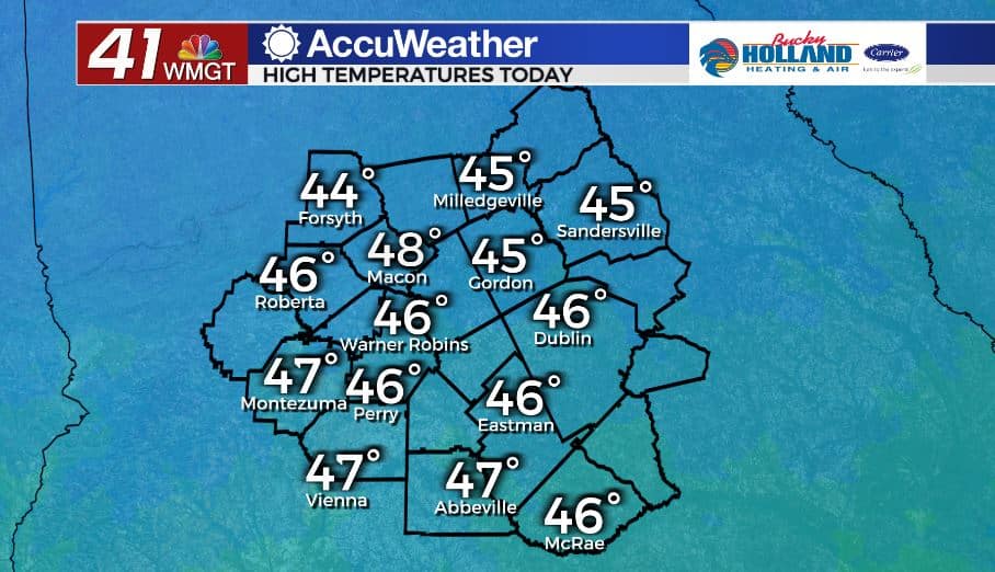
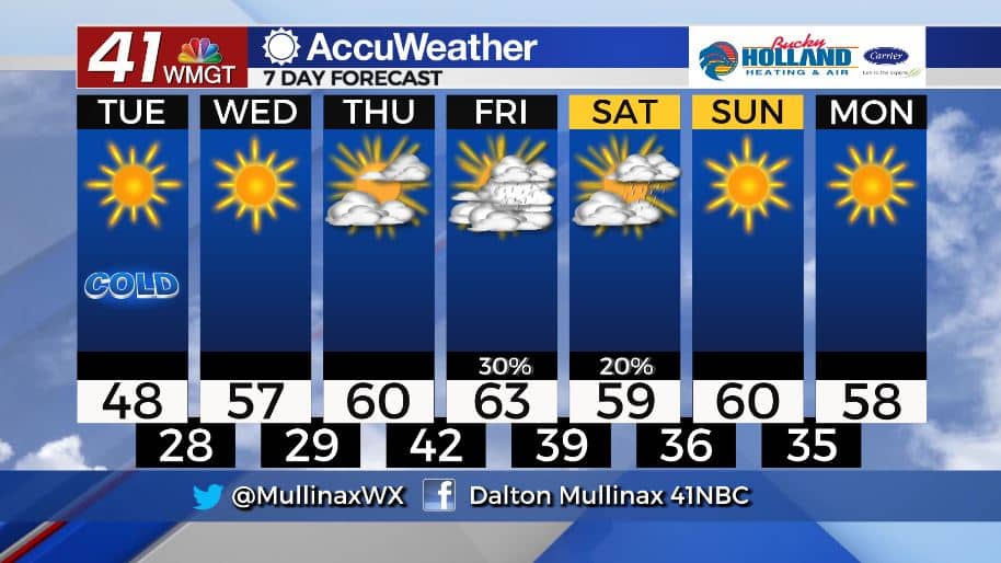
Although a sunny sky is in store this afternoon, temperatures will only top out in the upper 40’s. A westerly wind at 10-15 mph will make it feel even cooler. Tonight, temperatures will fall into the upper 20’s under a clear sky.
TOMORROW.
High pressure will build in from the west keeping our weather quiet for the time being. High temperatures tomorrow will climb back into the upper 50’s under a sunny sky. Overnight lows will still be chilly in the upper 20’s and lower 30’s.
EXTENDED FORECAST.
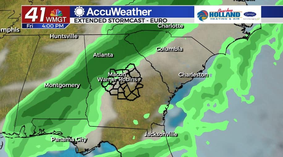
Clouds will begin to move in Thursday, but the day looks to remain dry. Showers will return on Friday and Saturday. Right now, Friday afternoon and evening look to be the wettest forecast periods, but even then we are not looking at a forecast. We will dry out for the back half of the weekend with temperatures expected to top out near 60°
Follow Meteorologist Dalton Mullinax on Facebook (Dalton Mullinax 41NBC) and Twitter (@MullinaxWX) for weather updates throughout the day. You can also watch his forecasts Monday through Friday on 41NBC News at Daybreak (6-7 a.m.) and 41Today (11 a.m.).
Leave a Reply