Clouds expected to stick around for awhile
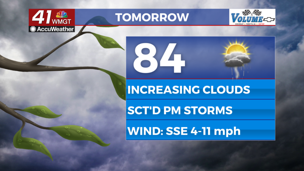
MACON, Georgia (41NBC/WMGT) – Good morning, everyone! This morning, we are starting out in the upper 50s to low 60s with a few showers in our northern areas. Today, we will see clouds and a few stray showers with a high in the 70s. The upcoming weather forecast indicates a mostly cloudy day with warm and slightly humid conditions. High temperatures will range from the upper 70s to lower 80s across the region, accompanied by a south-southeast wind at about 5-10 mph. There is a chance of isolated showers during the day. As we move into Wednesday afternoon, expect mostly cloudy skies with temperatures climbing into the lower 80s for most areas. Winds will pick up from the south, ranging from 10-20 mph and possibly gusting over 30 mph by the evening. A few showers may develop in the evening as well. Overnight into Thursday, a new round of thunderstorms is expected as the next cold front approaches. The Storm Prediction Center has identified some areas of Middle Georgia with a Level 2 severe threat. These storms are forecasted to clear out by lunchtime on Thursday, leading to windy and sunny conditions as we head into the weekend. This weekend is going to be beautiful. Have a good day!