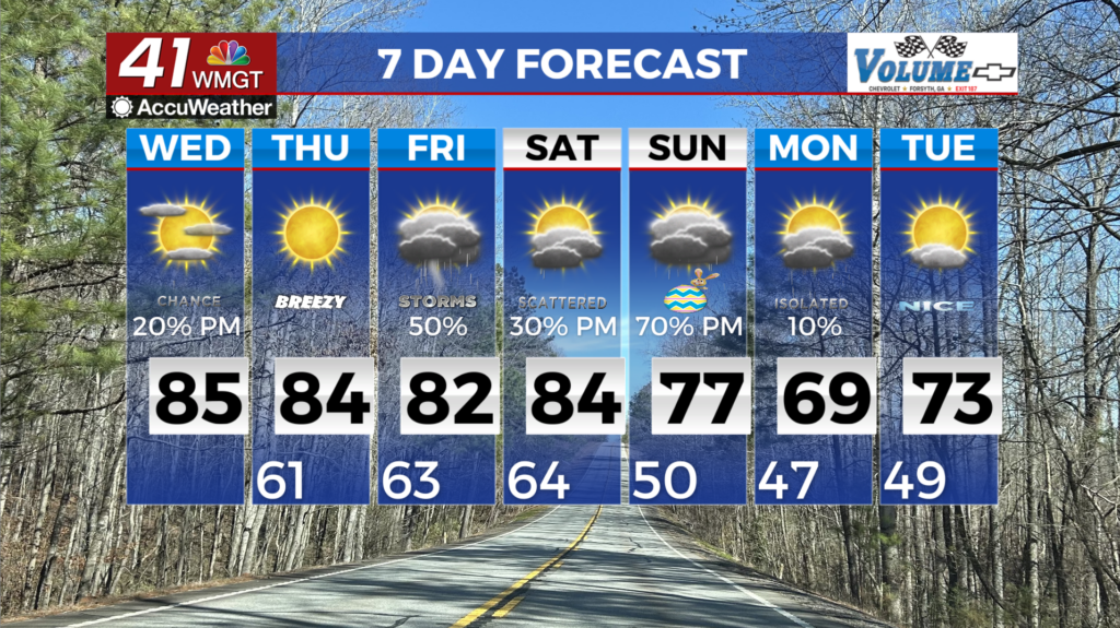
Chilly start to Thursday gives way to mild Friday
A colder and drier air mass continues to spread into North and Middle Georgia. Conditions are beginning to dry as a high-pressure ridge dominates the area.

MACON, Georgia (41NBC/WMGT) – A colder and drier air mass continues to spread into North and Middle Georgia. Conditions are beginning to dry as a high-pressure ridge dominates the area. This ridge will weaken Friday as a weak frontal boundary slowly moves from Tennessee into Georgia late Friday night into Saturday morning. Zonal flow from west to east will set up Friday and continue through the weekend. This flow will act as a steering mechanism for the incoming wave and low-pressure center.
The front moving south from Tennessee is starved for moisture Saturday morning, so the possibility for rain is low. A wave east of Texas Saturday morning will move across the Gulf Coast states and increase moisture into Middle Georgia late Saturday afternoon and evening. Precipitation chances will rise Saturday night as this energy moves across the area into Sunday.
Directly behind it is another low-pressure center caught in the zonal flow, bringing increased chances for rain Monday morning. By late Monday morning, the closed low system will be well east of the area. Temperatures will range through the period, slightly cooler likely on Sunday, with a general warming trend next week.


