


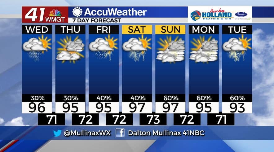
Above average temperatures to hang around through weekend
MACON, Georgia. (41NBC/WMGT)- A “cold” front moves in today and will allow for slightly better rain chances over the next few days as it stalls out across the state.
TODAY.
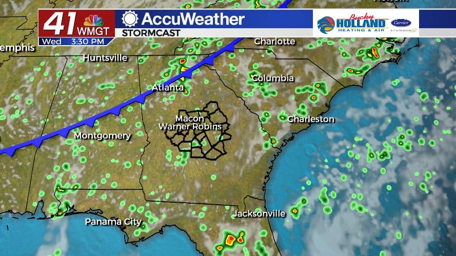
Under a mostly sunny sky this afternoon, high temperatures will top out in the middle 90’s area wide. Isolated showers and storms are back in the forecast this afternoon as well with a frontal boundary moving in. Locally heavy rainfall and frequent cloud to ground lightning can be expected with storms today. Overnight, showers will dissipate and temperatures will fall into the low and middle 70’s under a partly cloudy sky.
TOMORROW.
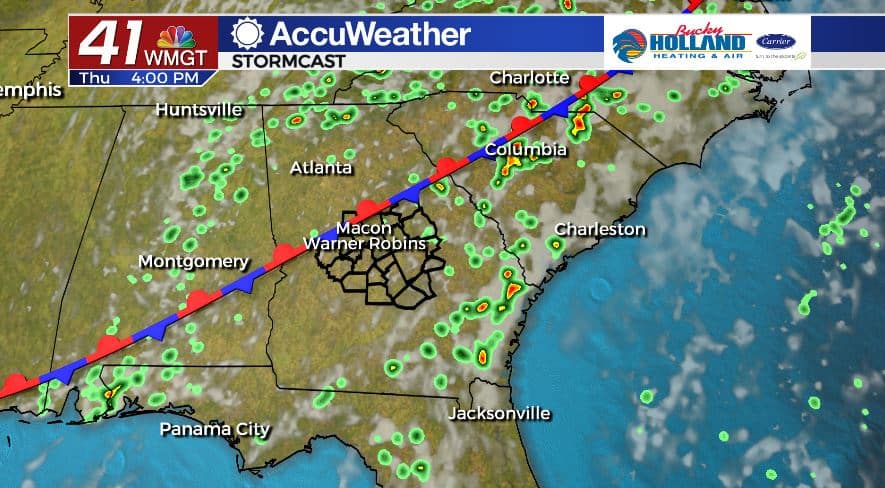
Temperatures are expected to be a degree or two cooler tomorrow afternoon, but that still means the middle 90’s are in store under a partly sunny sky. Shower and thunderstorm coverage will be isolated again as the front stalls out across Middle Georgia. Overnight lows will be seasonal in the low 70’s.
FRIDAY & BEYOND.
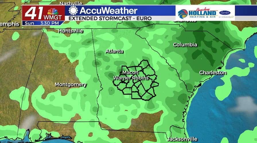
Shower and storm coverage increases as we head into the weekend. Isolated downpours will be a little more organized on Friday and Saturday before even greater rain chances return late in the weekend and into early next week. Temperatures will hold stead in the mid to upper 90’s through early next week.
Follow Meteorologist Dalton Mullinax on Facebook (Dalton Mullinax 41NBC) and Twitter (@MullinaxWX) for weather updates throughout the day. You can also watch his forecasts Monday through Friday on 41NBC News at Daybreak (6-7 a.m.) and 41Today (11 a.m).

Leave a Reply