Another round of storms on the way Tuesday
MACON, Georgia. (41NBC/WMGT)- Scattered showers and storms are back in the forecast today as our unsettled weather pattern continues.
TODAY.

Partly to mostly cloudy conditions this afternoon will allow temperatures to reach the middle and upper 80’s. Scattered showers and thunderstorms will also build back in by this afternoon. Like yesterday, locally heavy rainfall and frequent lightning will be the main storm threats. Tonight, a few showers will hang around as temperatures fall into the upper 60’s and lower 70’s under a mostly cloudy sky. Patchy dense fog is possible as well.
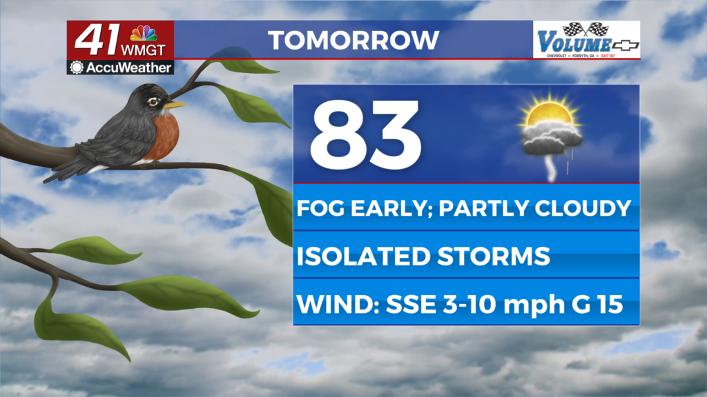
TOMORROW.

Scattered showers and storms are back in the forecast Wednesday, but coverage is not expected to be as widespread. Temperatures will climb to near 90° during the afternoon under a partly sunny sky. Overnight lows will fall into the upper 60’s.
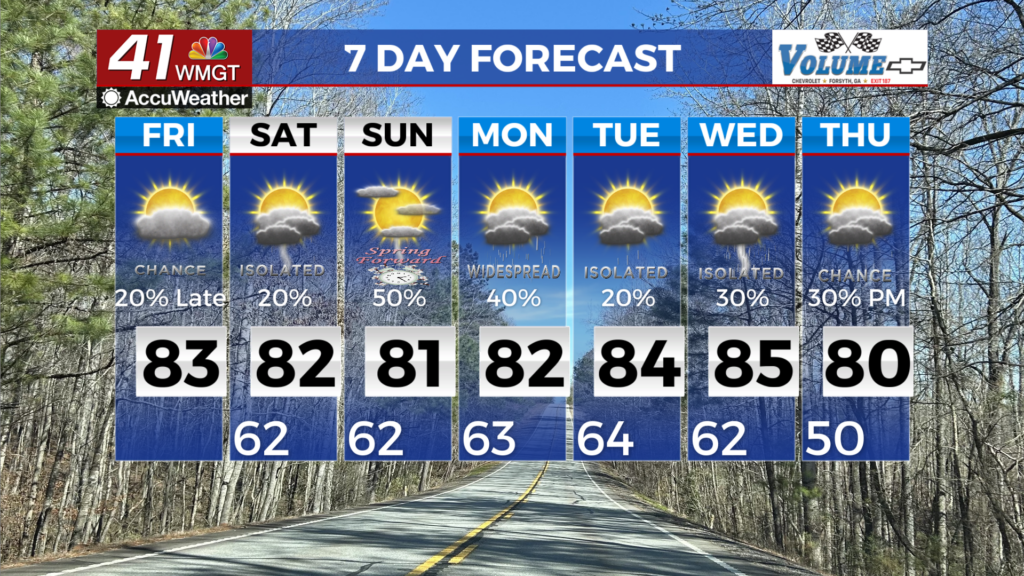
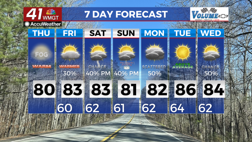
EXTENDED FORECAST.

Isolated showers will wrap up the work week on Thursday and Friday before increasing rain chances are back by the weekend. Warm, muggy conditions are here to stay through the entirety of the 7 day forecast. Temperatures will remain in the low 90’s.

Follow Meteorologist Dalton Mullinax on Facebook (Dalton Mullinax 41NBC) and Twitter (@MullinaxWX) for weather updates throughout the day. Also, you can watch his forecasts Monday through Friday on 41NBC News at Daybreak (6-7 a.m.) and 41Today (11 a.m).

Leave a Reply