Another hot day ahead, as relief arrives by the weekend
MACON, Georgia (41NBC/WMGT) – Cloudy conditions have been slow to clear keeping temperatures along the I-85 corridor several degrees cooler. This has had impacts throughout the day such 


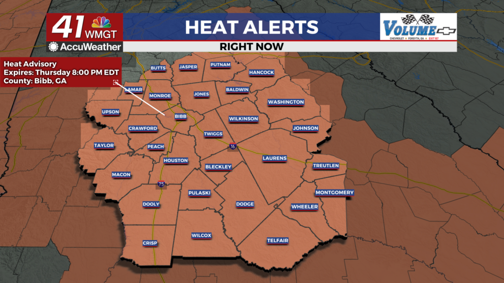
 as lower heat indices. Central and far northwest Georgia are more likely to reach heat indices of at least 105 today due to less morning cloud cover. Temperatures could also be impacted with increased cloud cover in the morning. Thunderstorm chances have decreased across the cloud covered area as well. The numbers have gone from 60% down to 30 to 40% for much of the area. Convection will likely be focused along the edge near the Georgia/Alabama border, just north of Columbus and Macon, and in far North Georgia. No widespread or organized severe weather is expected at this time, although isolated strong storms remain possible mostly in Middle and far North Georgia. Slow moving thunderstorms continue to pose a localized flooding threat. Hot and humid conditions linger into Friday as Georgia remains under the grasp of a ridge sitting over Florida, while troughing and an associated cold front starts to push into the Tennessee Valley late in the day. Heat index values are expected to peak in the 100-108 degree range with scattered to numerous showers and thunderstorms kickoff during the afternoon and evening hours. Depending on the timing of the front, areas could see strong to severe storms along that front as it pushes through, with damaging winds as the primary threat. Following the cold front passing through late Friday, temperatures will cool off significantly for the weekend and into early next week.