Another frigid before a gradual warming trend

MACON, Georgia (41NBC/WMGT) – Surface high pressure has settled over the Southeast, as this airmass begins to moderate and a warming trend begins. After a frigid start to the morning, high 


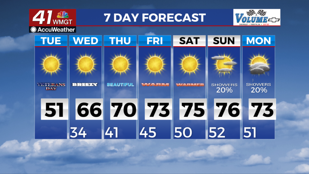
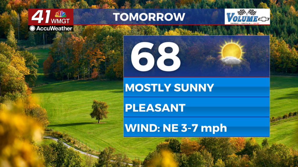
temperatures will rise into the upper 40s to low 50s. These highs will still be 15-20 degrees below normal, but not quite as cold as it was yesterday. Lighter winds and plenty of sunshine today will also prevent wind chills from feeling oppressive as yesterday. Fire Danger concerns are likely, with relative humidity values dropping to 25 percent in Middle Georgia. From midweek through the beginning of the weekend, dry conditions and gradually warming temperatures will lead to pleasant Fall weather across North and Central Georgia. Wednesday morning will be our last gasp of the cold air outbreak, as the day starts out with temperatures in the low to mid 30s under mostly clear skies. The overall airmass will warm up quite a bit during the day on Wednesday, as ridging starts to build into the area from over the Gulf. This feature looks like it will keep north and Middle Georgia within a dry west to northwest flow through at least Saturday, before a trough approaches the area on Sunday. Overall, expect high temperatures to warm from the 60s on Wednesday, to the low to mid 70s through Saturday, while overnight lows climb back into the 40s to low 50s.


