


Active weather to start new work week
MACON, Georgia. (41NBC/WMGT)- Multiple waves of showers and storms are on the way over the next few days before we dry out for the end of the week.
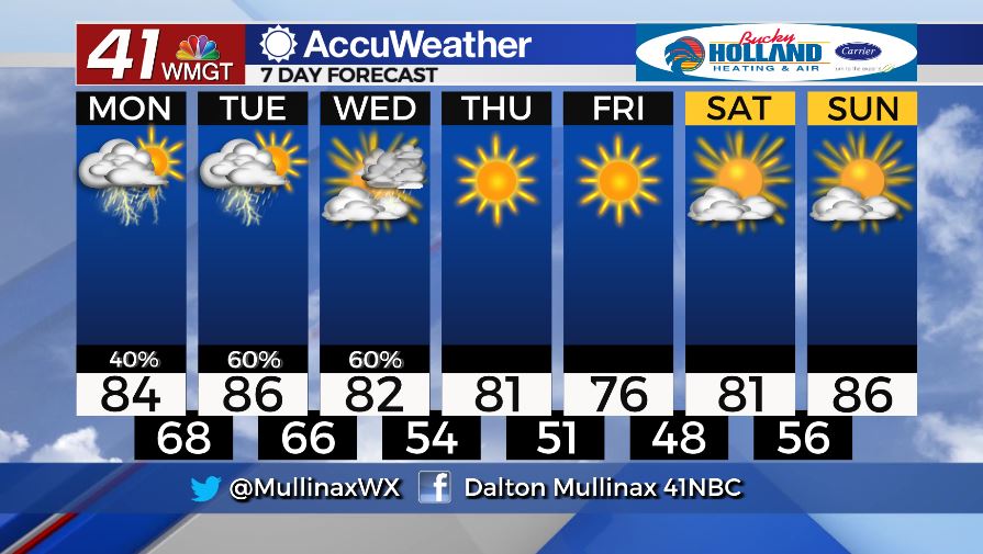
TODAY.
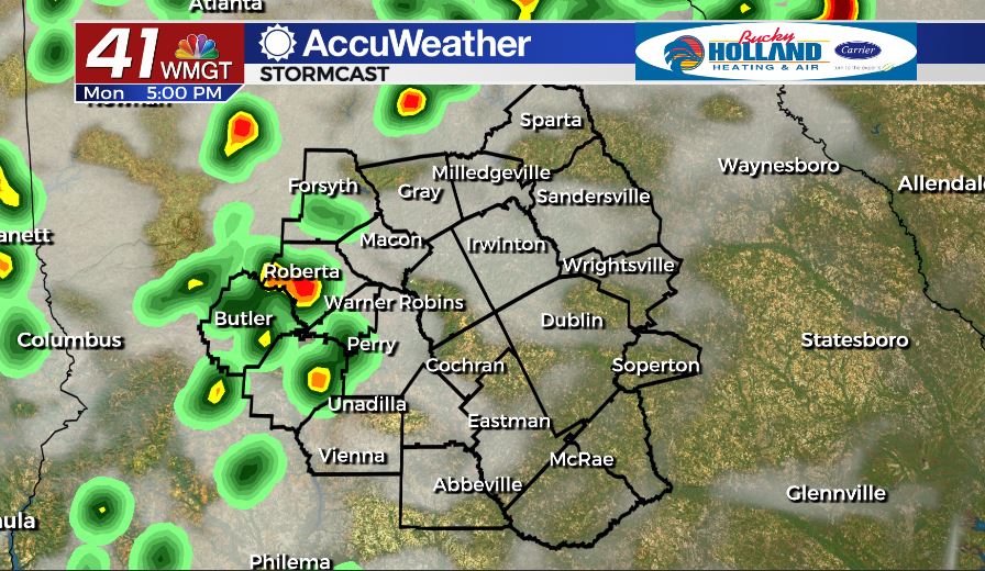
Under a mix of sun and clouds this afternoon temperatures will warm into the middle 80’s across our area. Isolated showers and thunderstorms are back in the forecast as well. A few strong storms are possible this afternoon as damaging wind gusts and hail are the two main storm threats. Overnight we will keep the clouds and warmer temperatures around. Overnight lows are forecast to only fall into the upper 60’s. A few light showers are possible overnight.
TOMORROW.
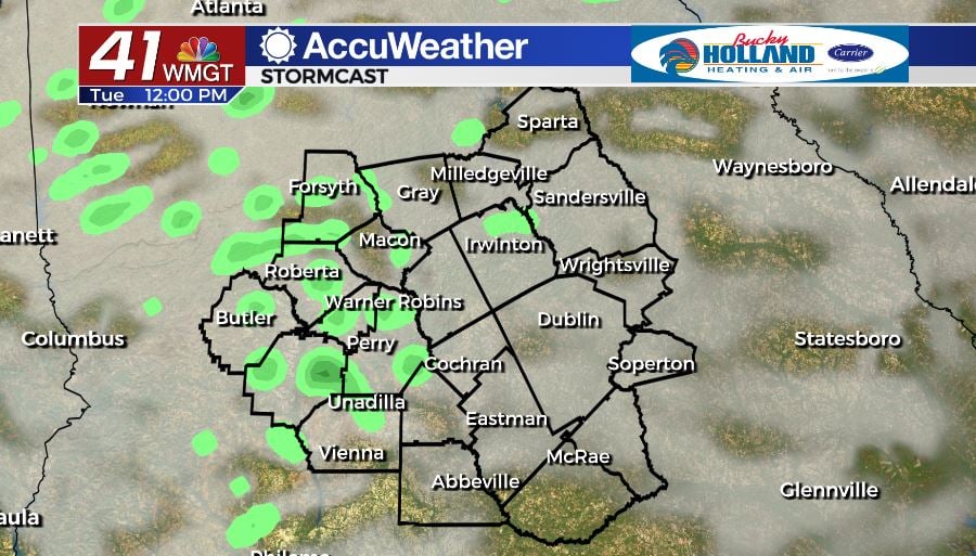
More of the same is on the way tomorrow. Rain coverage will be a little bit greater tomorrow as scattered showers and thunderstorms hang around for another day. Once again we will be dealing with the chance for a few strong to potentially severe storms. Stay weather aware.
WEEK AHEAD.
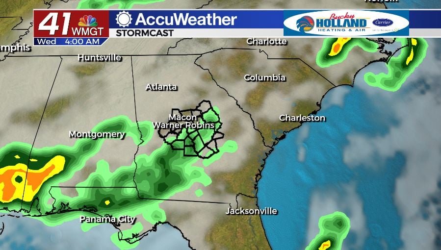
One final round of rain will move through on Wednesday before we enter a dry stretch to end the week. Temperatures on Friday will cool into the middle 70’s by Friday afternoon under a sunny sky.
Follow Meteorologist Dalton Mullinax on Facebook (Dalton Mullinax 41NBC) and Twitter (@MullinaxWX) for weather updates throughout the day. You can also watch his forecasts Monday through Friday on 41NBC News at Daybreak (6-7 a.m.) and 41Today (11 a.m).

Leave a Reply