Above normal temps increase rain chances for the weekend
MACON, Georgia (41NBC/WMGT) – A Fire Danger Statement has been issued for all of North and Middle Georgia through Friday evening due to minimum values of relative humidity 

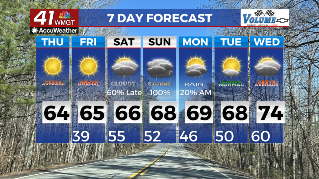
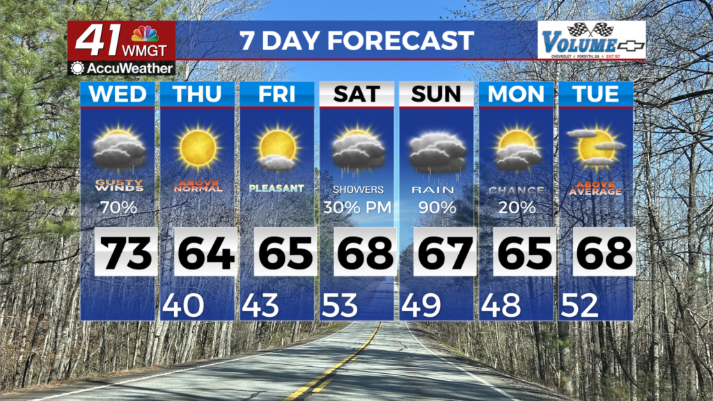
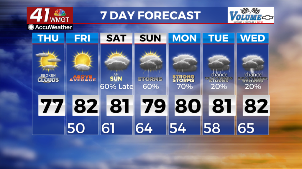
 at or below critical thresholds and lingering dry fuels. This will continue before low-level moisture reaches the area. A weak upper ridge over the Southeast U.S. will move east over the weekend. By Sunday night, a separate shortwave will move offshore allowing upper flow to become more zonal across the area. We will have low pressure to move southeast as it weakens. Southerly flow will increase moisture across the area from the Gulf through the weekend. This along with increasing instability will support thunderstorm development. The best chances of rain will be late Sunday into Monday. Expected rainfall amounts from the weekend into early next week is around 1.5 inches to around one quarter of an inch. Locally higher amounts are possible before the cold front weakens. The Storm Prediction Center has Northwest Georgia in a 15% severe risk area for Sunday and Sunday night, with another 15% risk area across most of the state for Monday and Monday night. Temperatures will run 10 to 15 degrees above normal, although those numbers will drop back closer to normal behind the front early next week.