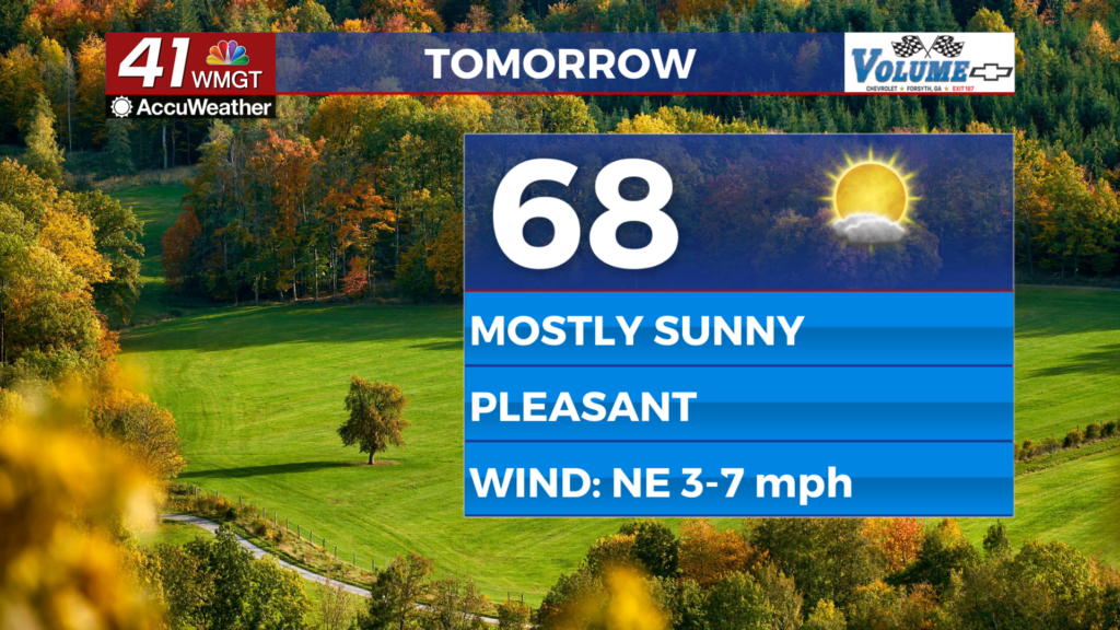


A foggy start then plenty of sunshine and warm temperatures

MACON, Georgia (41NBC/WMGT) – The main cold front has actively moved towards the southeast. In the meantime, fire weather concerns continue to be the primary focus of the extended forecast period. Relative humidity values should fall each afternoon (Tuesday through Friday) into the 20-30% range for a good portion of the region. Fuels will also be fairly dry. By Wednesday, a surface high pressure ridge will build in from the Central Plains keeping things dry through Saturday. By Friday the over all flow becomes southerly but moisture does not really increase across the area until Saturday. The next meaningful opportunity for rainfall looks to arrive Sunday as a series of shortwave troughs move out of the western U.S. Thunderstorms could occur during this period, especially if any approaching trough can tap into some Gulf moisture and a bit of instability. The Storm Prediction Center has also put portions of North and West Georgia under a 15% risk area for Saturday night into Sunday.