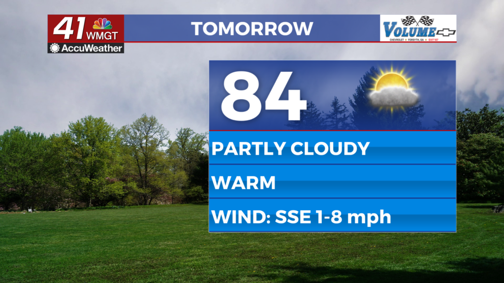
Warm and mostly dry today, with storms rolling in on Saturday
Temperatures will reach the low 80s, similar to what we saw yesterday when we recorded a high of 81 in Macon. The difference is we’ll see an increase in clouds due to a cold front moving through the state. With the clouds comes a very small chance for a shower or storm — about a 20 percent — which is not something to plan your day around.
Tomorrow morning, you’ll feel a difference outside after the front moves through the area: the morning low will range from the upper 40s to the low to mid 50s. Mostly sunny skies in the morning, and then increased cloud cover later Friday. Highs will be in the upper 70s.
Okay, now we get to Saturday, and the weather changes. Rain and storms move into our area with upward to half of inch of rain possible. The chance for severe weather is slight, meaning isolated severe storms are possible, but we’ll know more once we get the updated models tomorrow and get the timing of this system down. Once we do that, we’ll be able to determine if the rain moves in when the convective energy is at its highest. If so, then I would expect the slight chance of severe weather to continue. If not, I wouldn’t be surprised if NWS downgrades our chance to marginal.
By Sunday, it gets warmer and we dry out. Highs in the 80s.


Leave a Reply