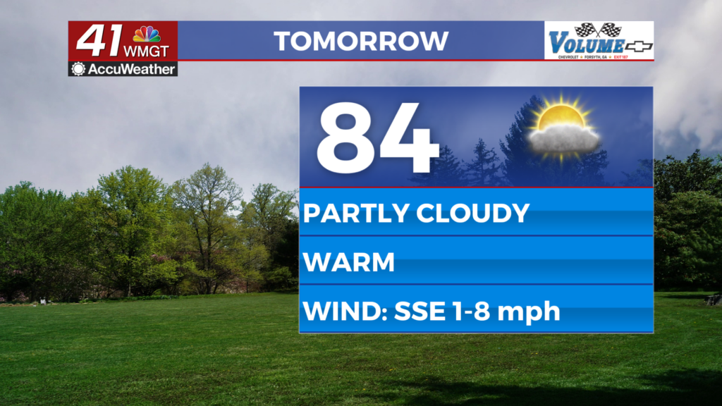
Weather Forecast for Mother’s Day Weekend, May 9th, 2014
Afterward, things get a bit more difficult to forecast, but so far, we’re not expecting high rain chances Monday and most of Tuesday. Another front enters the area mid-week next week, and we’ve upped the rainfall chances Wednesday and Thursday to deal with that. However, our Euro model shows the front moving into the area Thursday and giving us more rainfall on Friday. Our GFS model shows the system moving into the area Wednesday and out by Thursday. Other models show other variation. Due to that, there’s uncertainty on the timing of this front, so we’re keeping the rainfall chances at around 30% due to lack of certainty. The closer we get to Wednesday/Thursday next week, the more the models will converge on a forecast.
For tonight, cloudy, with temperatures in the upper 70s and low 80s.


Leave a Reply