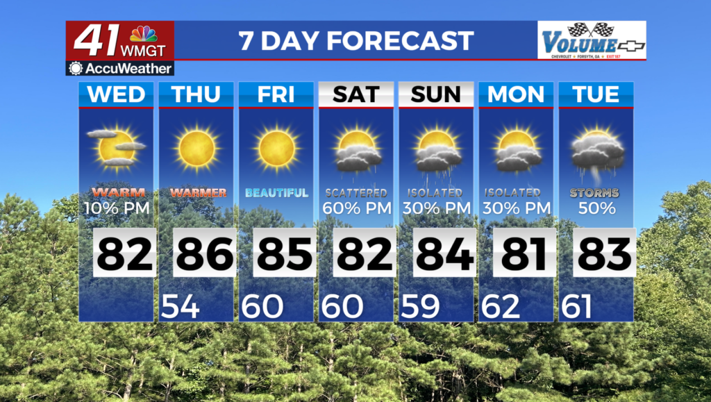
Weather Forecast for May 13th, 2014
Hot temperatures will take a backseat by the end of the week. While we expect low 90s/upper 80s again today, a frontal system moves into the area by Thursday. We are not currently forecasting severe weather with this system; the main concern will be heavy rainfall as models are showing 1 – 2 inches possible. Storms look to be your garden variety spring storms due to low wind shear and moderate CAPE (convective available potential energy), so again, severe weather will be extremely limited. The fortunate news is this looks to be a mostly one-day thing with possible showers still in the area by Friday.
And then the cool temperatures come back! 50s for overnight lows, and 70s for your afternoon highs. High pressure will etch itself into the area, giving us a dry weekend and a dry start to the next work week.


Leave a Reply