
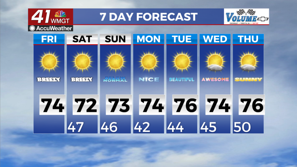

Relief from the heat is on the way
MACON, Georgia (41NBC/WMGT) – It’s another hot afternoon across North and Middle Georgia thanks to the dome of high pressure overhead and ridging aloft still in place over the Mississippi 


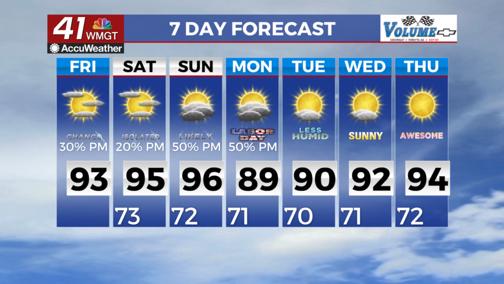
Valley extending eastward. Make sure to stay hydrated and take frequent breaks in the shade if you’re outdoors for an extended period. Similar to yesterday, there could be a stray shower around late this afternoon across our northern, western, and extreme southeast counties but most will remain dry. The only notable change will be a slight uptick in afternoon rain chances across our far southern counties as high pressure at the surface begins to slowly weaken and two weak boundaries one from the northeast and the other from north Florida creeps towards the area. Wetting rain likely won’t be substantial but coverage and probability of occurrence will be a tad higher than what we’ve seen the past few days. Daytime temperatures will continue to remain in the mid to 


upper 90s. Dewpoints in the upper 60s to low 70s will keep heat indices in the upper 90s to lower 100s. With no significant pattern shift within the next 48 hours, the current Heat Advisory for Northwest Georgia has been extended through this evening. The Bermuda ridge centered off the Georgia/South Carolina coast continues into the weekend but it begins to weaken Saturday. This ridge continues to keep things mostly dry but precipitation chances slowly increase Saturday into the beginning of next week. The models are showing a significant band of moisture associated with a weak frontal boundary moving northward out of the Gulf and northern Florida Friday. With the ridge in place across North Georgia this boundary stalls across South Georgia but does 


increases precipitation chances across Middle Georgia due to its proximity Saturday. With the ridge weakening as we go further into the weekend a backdoor cold front moves southwest out of the Carolinas and into Northeast Georgia Sunday afternoon. This front is fairly weak and looses a lot of its strength as it pushes into the old weakening ridge, but it will be a catalyst for increased precipitation chances Sunday/Monday. Slightly cooler air is expected behind the frontal boundary Monday, as a ridge of high pressure centered over Hudson Bay sinks southward into the Mid-Atlantic states. There still remains the potential for diurnal convection, Monday with things drying out for Tuesday and Wednesday.