


After a brief warm up, another shot of cold air
MACON, Georgia (41NBC/WMGT) – A cool and dry airmass remains in place across North and Middle Georgia. High pressure is centered over the Lower Mississippi River Valley continues 


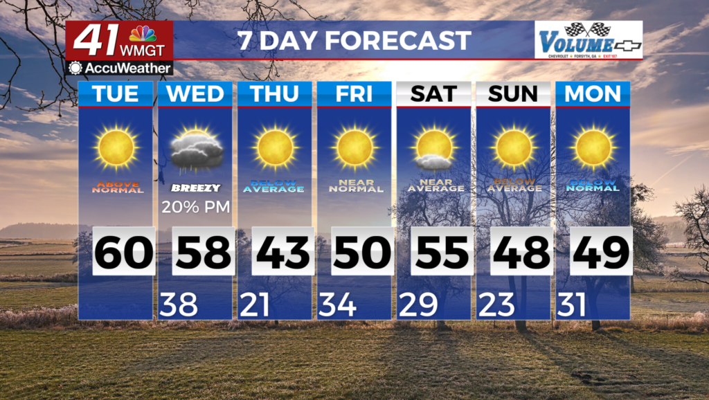
 to advance east through the remainder of the day. High temperatures this afternoon will be close to normal numbers, ranging from the upper 40s in far North Georgia to the upper 50s to even 60 degrees in East Middle Georgia. Cirrus clouds continue to overspread much of the area. Relative humidity values are expected to drop to between 20-25% in East Central Georgia this afternoon. Gusty winds are allowing dry fuels to become even drier. As a result, a High Fire Danger Statement has been issued until 7 PM this evening. For today, the airmass will begin to warm under the influence of the lingering, weakening high. Low temperatures overnight into Tuesday morning will range from the mid 20s to low 30s. High temperatures will be several degrees warmer than yesterday, ranging from the mid 50s to low 60s. Dry fuels and minimum Relative Humidity Values between 20-25% in Central Georgia allow for the issuance of the Fire Danger Statement Tuesday night, as longwave troughing amplifies and digs southward along the Mississippi River and towards the Gulf Coast. This will set up a southwesterly upper level flow pattern over the region, with increasing atmospheric moisture to follow. The movement of this trough will also influence the movement of a weak surface low over the northern Gulf, which will bring the next round of precipitation into the area.