Another day of extreme heat, then some relief

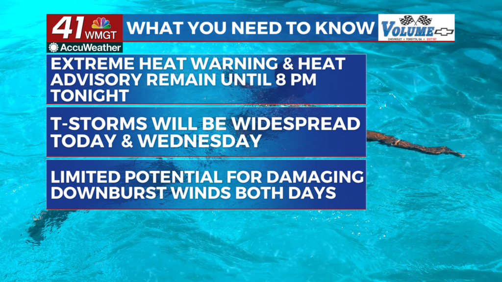
MACON, Georgia (41NBC/WMGT) – The heat and humidity continues for the next 48 hours with the most intense heat expected in east Middle Georgia. An Extreme Heat Warning and Heat 


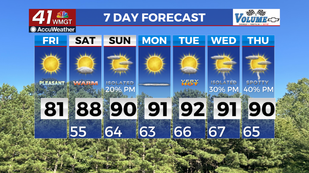
 Advisory remain in place through 8 PM tonight. Across north and Central Georgia heat indices should peak in the 103 to 112 degree range between noon and 8 pm today. Afternoon thunderstorms could bring limited relief and possibly hinder the ability of areas to reach Extreme Heat Warning and Heat Advisory standards. The heat will likely continue in the region on Wednesday. A weak surface trough across southern Georgia and fading upper level subsidence will favor more widespread thunderstorm activity today. Storms will be most widespread in southern Georgia before 4 pm due to the proximity to the trough. More isolated storm activity may occur in north and Middle Georgia between noon and 4 pm. Models support increasing storm coverage in north and Middle Georgia between noon and 4 PM and 12 AM as storms form north along various outflow boundaries. Any storm clusters that develop may have an increased threat for strong winds. Afternoon and evening thunderstorms should be present in the region on Wednesday as well. The main driver of convection will be the surface trough again, however, a weak upper level trough over the Tennessee Valley may also contribute. As with today, the main concern with any thunderstorms will be damaging downburst winds especially with any clusters that develop. Peak wind gusts in the 40 to 50 mph range will be possible, but widespread severe weather is unlikely.


