Monitoring Gulf activity as heat increases
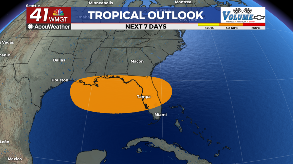
MACON, Georgia (41NBC/WMGT) – An area of low pressure highlighted by the National Hurricane Center pushes westward across Florida while high pressure stays in place to the west. This 


 will result in an easterly flow pushing up against the current westerly flow which could prove interesting for our area. Models have been indicating the potential for a zone to set up over the I-85 corridor which in turn would cause a slower moving precipitation band to form. This could lead to the potential for flooding if the band is able to remain stationary for a longer period of time. Temperatures on Tuesday will reach the mid 90s but the heat index values are expected to be in the 100-104 range.