Dry today then showers and storms move in for Friday
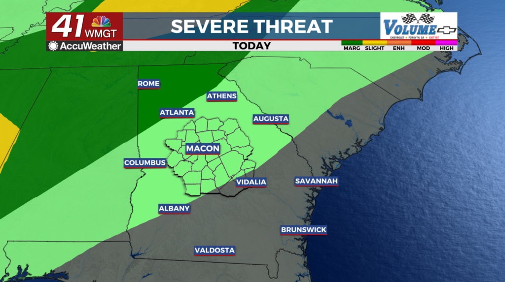
MACON, Georgia (41NBC/WMGT) – A remnant trough will push into northwest Georgia by late afternoon Thursday. As a result, chances for showers will increase late in the day mainly along 


 and northwest of I-85 which is closer to the boundary. With no strong support to aid in the remnant boundary movement, it will probably stall out somewhere across the area through Friday and become a focus for storms during the day Friday and into Saturday. The Storm Prediction Center has included a marginal risk mainly for northwest Georgia near the boundary on Friday, along and northwest of I-85. Instability by Friday afternoon is forecast to peak on the high side. Severe wind would be the main threat. A cold front will push into the area at the beginning of the forecast period on Saturday, keeping things unsettled to start the weekend. While some showers and thunderstorms will likely be ongoing Friday night into Saturday morning, the coverage will again be diurnally enhanced Saturday afternoon. By Sunday, cooler and drier air filters into the area.