
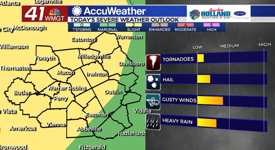
Few strong storms possible today
MACON, Georgia. (41NBC/WMGT) – A cold front moving across the southeast will bring an increased chance for stronger thunderstorms to Middle Georgia.
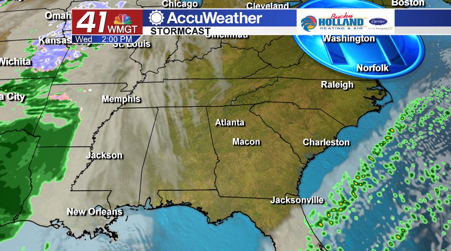
TODAY.
Clouds will increase throughout the afternoon setting us up for a partly to mostly cloudy sky. Temperatures will still make it into the upper 70’s and lower 80’s area-wide.
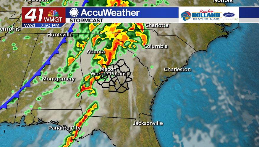
As of 6 am on Wednesday, April 29, the Storm Predication Center has placed nearly all of Middle Georgia in a level 2/5 risk area for severe storms. At the earliest showers and thunderstorms will develop in the mid/late afternoon. Damaging straight-line winds are the main storm threat.
Showers and storms will linger into the overnight hours as temperatures fall into the middle 50’s.
TOMORROW.
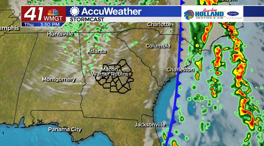
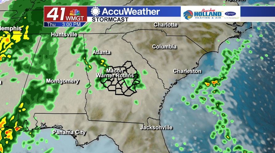
After a cloudy and wet start to the morning, we will begin to dry out during the afternoon. Temperatures will be cooler during the afternoon as highs only top out in the low 70’s. Overnight lows will fall into the upper 40’s.
WEEKEND AND BEYOND.
Temperatures will gradually warm beginning on Friday and into the weekend. By Sunday we will be looking at potentially getting into the 90’s for the first time this year. Isolated showers return on Monday and Tuesday.
Follow Meteorologist Dalton Mullinax on Facebook (Dalton Mullinax 41NBC) and Twitter (@MullinaxWX) for weather updates throughout the day. You can also watch his forecasts Monday through Friday on 41NBC News at Daybreak (6-7 a.m.) and 41Today (11 a.m).

Leave a Reply