
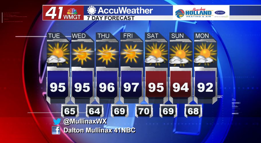
Record breaking temperatures forecast this week
MACON, Georgia. (41NBC/WMGT) – While yesterday was the official start of Fall, temperatures this week are not going to feel anything like it with highs in the middle to upper 90’s forecast for the next few several days.
TODAY.
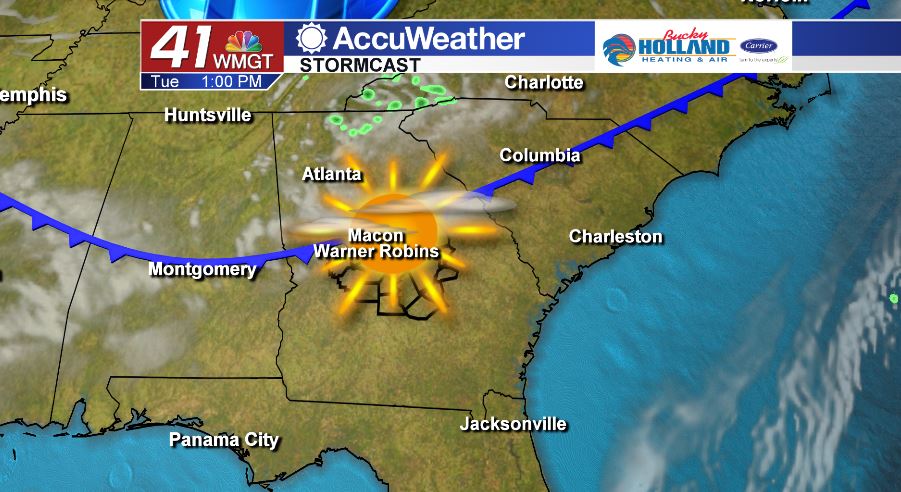
A weak cold front will continue to move through the area today, and unfortunately we are not going to be getting any temperature relief or rain from this front. We will see a few more clouds compared to yesterday, but we are still looking at a partly sunny sky with temperatures running in the low to middle 90’s. Overnight tonight and into tomorrow morning temperatures will fall back into the middle 60’s under a mostly clear sky.
TOMORROW.
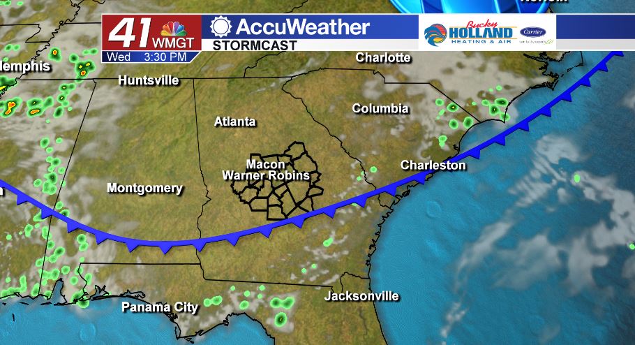
High pressure will continue to build back into the region and that means temperatures will be on the warm side with no rain in sight. Afternoon high temperatures will top out in the middle 90’s before falling into the middle 60’s overnight.
EXTENDED FORECAST.
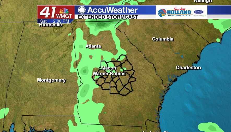
Our gradual warming trend will continue through the rest of the work week with the upper 90’s expected in Middle Georgia by Friday. We stay mostly dry through the entire 7 day forecast with just an isolated shower possible on Saturday.
Follow Meteorologist Dalton Mullinax on Facebook (Dalton Mullinax 41NBC) and Twitter (@MullinaxWX) for weather updates throughout the day. You can also watch his forecasts Monday through Friday on 41NBC News at Daybreak (5-7 a.m.) and 41Today (11 a.m.).


Leave a Reply