
Strong storms possible Thursday
After about five days of dry weather, we are keeping a close eye on storms to our west.
The line that is moving through Mississippi will begin to fall apart by tomorrow morning, but by the afternoon, pop up showers will bring a chance of strong and severe storms to Middle Georgia.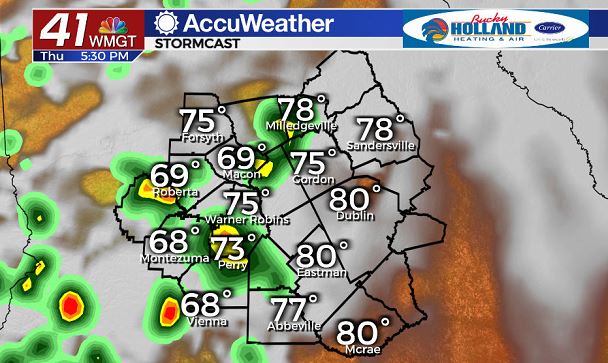
Yet again, the best dynamics will be just to our west, but we will need to monitor our instability through early afternoon.
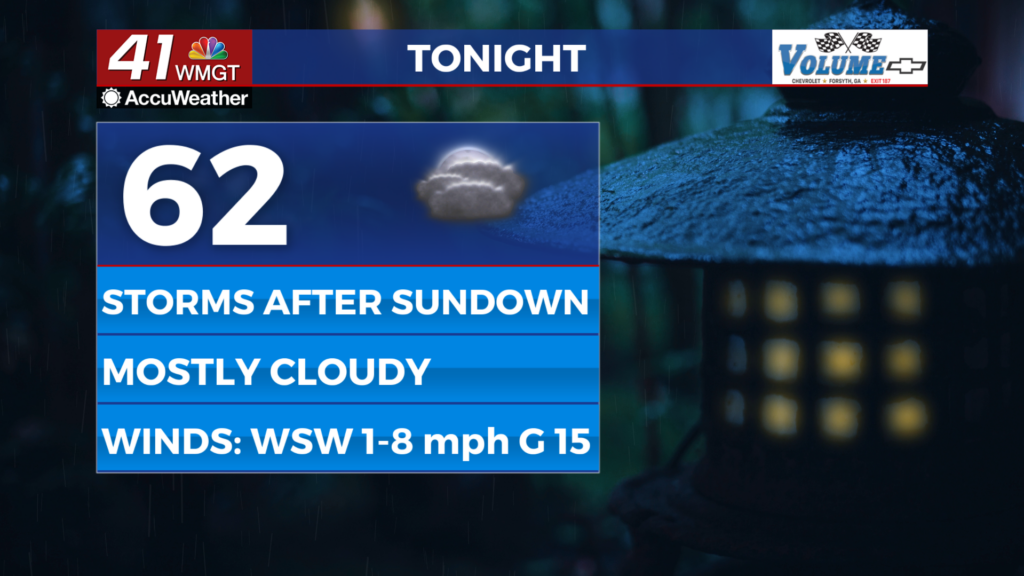
Storms should begin to pop up after 2pm, with storms generally moving out by 10 pm.
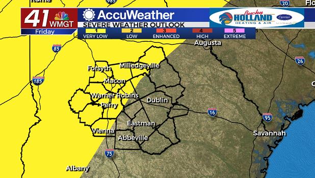
Friday will bring another round of storms and rain to the area, once again with the potential for severe storms.
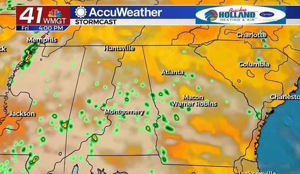
This time the rain and storms will be pushing into Middle Georgia from the south.
A few of these could become strong/severe and like Thursday the threat should end before midnight.
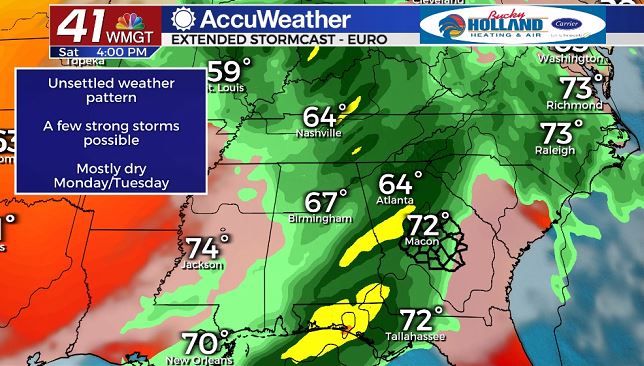
Saturday brings what looks to be our most significant chance of strong/severe storms to the area as a line line of rain and storms moves in from the west.
Heavy rain looks like a pretty good guarantee for much of Saturday afternoon, with a chance of damaging wind gusts as well.
All of the severe threat will really hinge on whether the system is organized enough by the time it gets here.
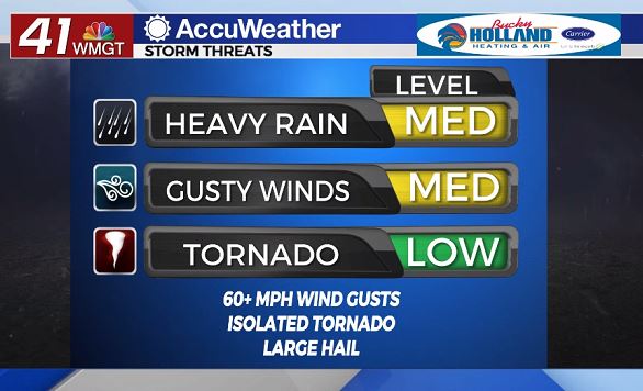
Main threats for the next few days continue to be damaging wind gusts, heavy rains, and an isolated tornado threat.
There is also a continuing threat for large hail, especially with storms that form on Friday.
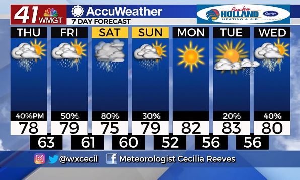
Sunday is when we will finally start to see an end to some of the stormy activity (at least for a few days).
Highs next week will be warming back to the 80’s as rain returns overnight Tuesday into early Wednesday.


Leave a Reply