
Increasing storm chances lead to cooler temps this week
It was a hot and mostly dry day across much of Middle Georgia, but we are finally starting to see a pattern change this week.
Tomorrow, although we will have a quick warm up into the low 90’s, clouds and storms will increase pretty quickly through the afternoon. This will slow some of the warming across the area, limiting our high temps to low and mid 90’s.
Tropical downpours will be possible will all the storms this week because of the tropical air mass in place.
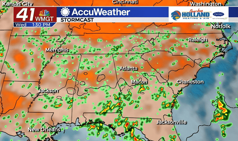
Wednesday will bring a stormy day across Middle Georgia, especially during the afternoon and evening. The main threats will be heavy rain, gusty winds, and frequent lightning, but widespread severe weather is not anticipated.
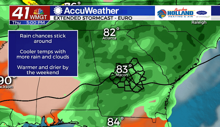
Through Thursday we will continue to see heavy rain possible and off and on rain throughout the day. We will also see our high temps reach only the upper 80’s and low 90’s.
Consider these few days your small break from the heat, because, don’t worry, the heat is coming back.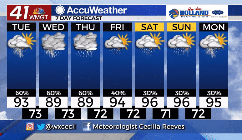
Rain chances will return to a much more scattered variety through the end of the week and into the weekend. With more sunshine this weekend,expect temps to warm back to the mid and upper 90’s.
We are also watching the tropics closely for the next potential tropical cyclone. Right now there are no concerns for Middle Georgia from this system, but it is still over a week out and a lot can change.


Leave a Reply